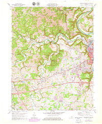
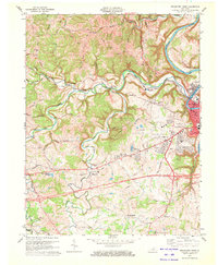
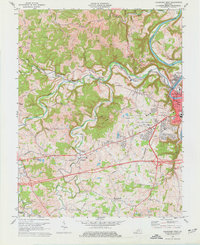
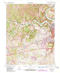
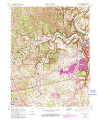
1970 Map of Frankfort West
USGS Topo · Published 1979About this map
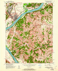
The Kentucky River winds sharply through the eastern portion of this quadrangle, framing the western reaches of the state capital. The Louisville and Nashville Railroad follows the tight meanders of Benson Creek, a corridor that historically dictated the movement of goods and people between the river valley and the interior. Rural life is anchored by family-named landmarks and several country houses of worship, including Mt Zion Ch and North Benson Ch. In the south, the village of Bridgeport sits near the crossing of South Benson Creek.
Find a feature on this map
67 named features on this map. Tap any name to fly to it.
Don’t see what you’re looking for? This feature index may not catch every label — zoom into the map to look around manually.
Map Details
Editions of this 1970 Frankfort West Map
5 editions found
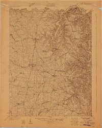
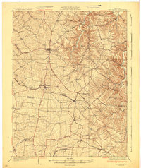
Other maps of this area

1906 · Lockport
USGS Topo · 1:48,000

1908 · Lockport
USGS Topo · 1:62,500

1922 · Frankfort
USGS Topo · 1:48,000

1923 · Waddy
USGS Topo · 1:48,000
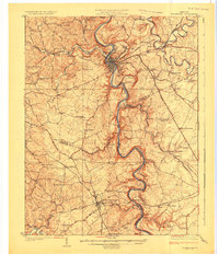
1924 · Frankfort
USGS Topo · 1:62,500

1925 · Mount Eden
USGS Topo · 1:48,000

1927 · Mount Eden
USGS Topo · 1:62,500
1928 · New Castle
USGS Topo · 1:48,000
1932 · New Castle
USGS Topo · 1:62,500
1951 · Lawrenceburg
USGS Topo · 1:24,000