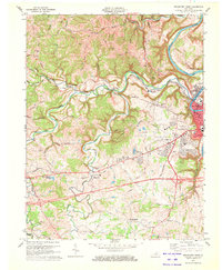
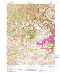
1970 Map of Frankfort West
USGS Topo · Published 1972About this map
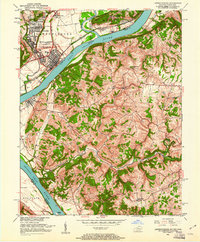
The Kentucky River winds through the eastern edge of this 1970s survey, where the seat of state government meets the rolling uplands of Franklin Co. The state's administrative heart is clearly defined by landmarks such as the State Capitol, City Hall, and the Museum, situated just east of the Louisville and Nashville Railroad line. Beyond the urban center, the landscape transitions into a network of ridge-top roads and creek valleys. The drainage of Benson Creek dictates the local geography, with small rural centers like Choateville and Bridgeport serving as anchors for the surrounding agricultural community. Deeply rooted family history is evident in the numerous small burial sites and country congregations, including Sudduth Cem, Mt Zion Ch, and St Johns Ch. This era shows the expansion of infrastructure around Frankfort, notably the Capital City Airport and the development of Juniper Hill Municipal Park near the municipal boundary.
Find a feature on this map
54 named features on this map. Tap any name to fly to it.
Don’t see what you’re looking for? This feature index may not catch every label — zoom into the map to look around manually.
Map Details
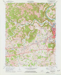
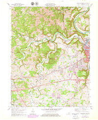
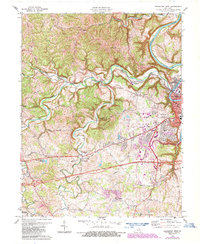
Editions of this 1970 Frankfort West Map
5 editions found
Other maps of this area

1906 · Lockport
USGS Topo · 1:48,000

1908 · Lockport
USGS Topo · 1:62,500

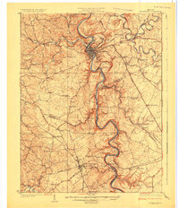
1922 · Frankfort
USGS Topo · 1:48,000

1923 · Waddy
USGS Topo · 1:48,000
1924 · Frankfort
USGS Topo · 1:62,500

1925 · Mount Eden
USGS Topo · 1:48,000

1927 · Mount Eden
USGS Topo · 1:62,500
1928 · New Castle
USGS Topo · 1:48,000
1932 · New Castle
USGS Topo · 1:62,500
1951 · Lawrenceburg
USGS Topo · 1:24,000