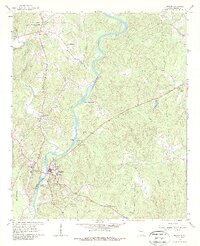
1964 Map of Franklin
USGS Topo · Published 1987About this map
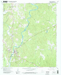
Chattahoochee River dominates this mid-1960s landscape, winding through a series of significant river features including Bush Head Shoals and Daniel Shoals. The county seat of Franklin serves as the primary hub, clustered with civic and community infrastructure such as the Court House, County Hospital, and Johnson High Sch. Further north, the settlement of Centralhatchee sits along its namesake creek, illustrating the dispersed rural community structure of the era.
Find a feature on this map
43 named features on this map. Tap any name to fly to it.
Don’t see what you’re looking for? This feature index may not catch every label — zoom into the map to look around manually.
Map Details
Editions of this 1964 Franklin Map
3 editions found
Other maps of this area

1899 · Wedowee
USGS Topo · 1:125,000

1902 · Wedowee
USGS Topo · 1:125,000

1953 · Atlanta
USGS Topo · 1:250,000

1957 · Atlanta
USGS Topo · 1:250,000

1958 · Atlanta
USGS Topo · 1:250,000

1964 · Hogansville
USGS Topo · 1:24,000

1964 · Glenn
USGS Topo · 1:24,000

1964 · Hillcrest
USGS Topo · 1:24,000

1964 · Roopville
USGS Topo · 1:24,000
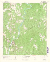
1964 · Franklin
USGS Topo · 1:24,000