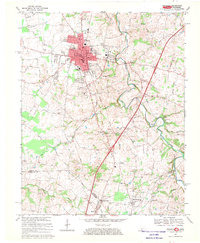
1968 Map of Franklin
USGS Topo · Published 1969About this map
Franklin serves as the focal point of this Simpson County landscape, situated along the vital Louisville and Nashville railroad corridor. The town layout is clearly defined by its municipal center, featuring the Courthouse, City Hall, and Library, while the outlying areas show the marks of mid-century leisure and utility, such as a Drive-in Theater and a Radio Tower. To the south, the terrain transitions across the Kentucky Tennessee state line, where smaller communities like Flat Rock and Mitchellville are linked by a network of rural routes including Peeden Mill Road and Ebenezer Road.
Find a feature on this map
54 named features on this map. Tap any name to fly to it.
Don’t see what you’re looking for? This feature index may not catch every label — zoom into the map to look around manually.
Map Details
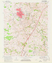
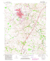
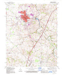
Editions of this 1968 Franklin Map
4 editions found
Other maps of this area

1921 · Bowling Green
USGS Topo · 1:62,500

1923 · Bowling Green
USGS Topo · 1:62,500

1928 · Adolphus
USGS Topo · 1:48,000

1931 · Adolphus
USGS Topo · 1:62,500

1942 · Gallatin
USGS Topo · 1:100,000

1951 · Woodburn
USGS Topo · 1:24,000

1951 · Franklin
USGS Topo · 1:24,000

1951 · Prices Mill
USGS Topo · 1:24,000

1951 · Auburn
USGS Topo · 1:24,000

1953 · Orlinda
USGS Topo · 1:24,000