Loading...
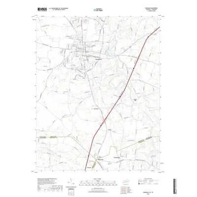
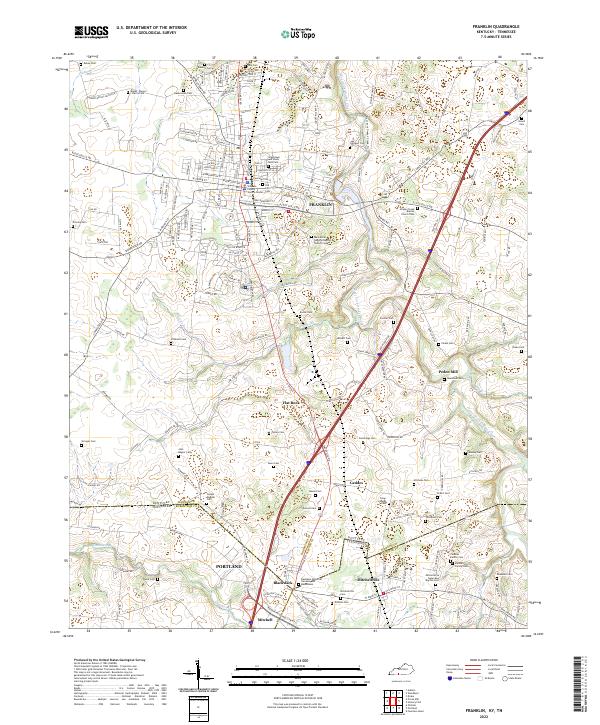
Loading map...1968 Map of Franklin
USGS Topo · Published 1995About this map
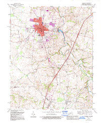
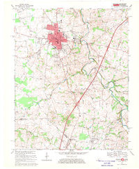
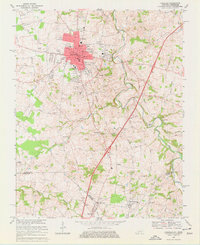
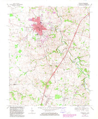
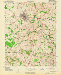
The Franklin town center serves as the hub of this 1968 survey, showing the courthouse and city library alongside the industrial corridor of the Louisville and Nashville railroad. The landscape to the south and east is defined by the winding path of West Fork Drakes Creek and its many tributaries, such as Sharps Branch and Sinking Creek. The rural areas are densely marked with family history and community markers, including Peden Mill and the Green Lawn Cemetery.
Find a feature on this map
68 named features on this map. Tap any name to fly to it.
Don’t see what you’re looking for? This feature index may not catch every label — zoom into the map to look around manually.
Map Details
Date Portrayed1968
Date Published1995
PublisherU.S. Geological Survey
Map TypeTopographic
Scale1:24,000
Physical Dimensions22.4 x 27.3 inches
Editions of this 1968 Franklin Map
4 editions found
Historical Maps of Portland Through Time
7 maps found
Featured Locations
Source Details
SourceU.S. Geological Survey
CopyrightPublic Domain