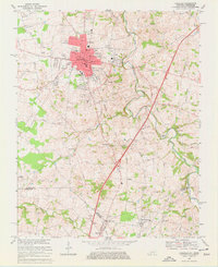
1968 Map of Franklin
USGS Topo · Published 1977About this map
The Franklin city limits expand across the landscape in the late 1960s, showing the intersection of industrial growth and rural tradition. The corridor along the Louisville and Nashville railroad serves as the spine for development, connecting the downtown grid to local institutions like the Franklin-Simpson High Sch and a nearby Drive-in Theater. To the south, the terrain transitions into the agricultural borderlands between Kentucky and Tennessee, where the Kentucky Tennessee state line cuts through small communities such as Mitchellville and Black Jack.
Find a feature on this map
64 named features on this map. Tap any name to fly to it.
Don’t see what you’re looking for? This feature index may not catch every label — zoom into the map to look around manually.
Map Details
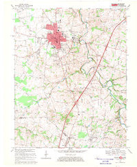
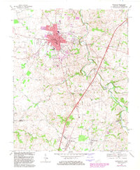
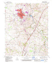
Editions of this 1968 Franklin Map
4 editions found
Other maps of this area

1921 · Bowling Green
USGS Topo · 1:62,500

1923 · Bowling Green
USGS Topo · 1:62,500

1928 · Adolphus
USGS Topo · 1:48,000

1931 · Adolphus
USGS Topo · 1:62,500

1942 · Gallatin
USGS Topo · 1:100,000

1951 · Woodburn
USGS Topo · 1:24,000

1951 · Franklin
USGS Topo · 1:24,000

1951 · Prices Mill
USGS Topo · 1:24,000

1951 · Auburn
USGS Topo · 1:24,000

1953 · Orlinda
USGS Topo · 1:24,000