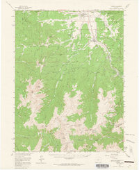
1957 Map of Fraser
USGS Topo · Published 1965About this map
The Denver and Rio Grande Western railroad corridor shapes the development of this high-altitude region, carving a path through the valley of the Fraser River. This mid-century survey documents the transition of the area from traditional ranching and logging into a recreational and research hub, evidenced by the Fraser Experimental Sta and the burgeoning community of Winter Park. The engineering of the Moffat Tunnel and several smaller bores like Vasquez Tunnel No 1 highlights the intensive water and rail infrastructure required to cross the Continental Divide. Scattered campgrounds such as St Louis Campground and Idlewild Campground mark the landscape, while the rugged terrain is anchored by massive summits including Byers Peak and Mt Nystrom. To the south, Berthoud Pass serves as the primary automotive gateway, connecting the Grand County settlements to the mineral-rich slopes near Colorado Mines Peak.
Find a feature on this map
77 named features on this map. Tap any name to fly to it.
Don’t see what you’re looking for? This feature index may not catch every label — zoom into the map to look around manually.
Map Details
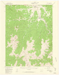
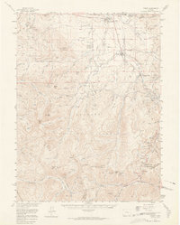
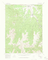
Editions of this 1957 Fraser Map
4 editions found
Other maps of this area

1903 · Georgetown
USGS Topo · 1:62,500

1905 · Central City
USGS Topo · 1:62,500

1905 · Georgetown
USGS Topo · 1:62,500

1910 · Central City
USGS Topo · 1:62,500

1912 · Central City
USGS Topo · 1:62,500

1915 · Longs Peak
USGS Topo · 1:125,000

1919 · Rocky Mountain National Park
USGS Topo · 1:125,000

1924 · Montezuma
USGS Topo · 1:62,500

1924 · Fraser
USGS Topo · 1:62,500

1926 · Fraser
USGS Topo · 1:62,500