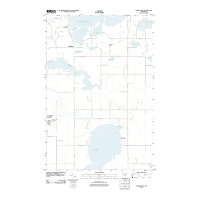
2010 Map of Fredenberg
USGS Topo · Published 2010About this map
Island Lake Reservoir and Wild Rice Lake Reservoir dominate this northern Minnesota landscape, where water management and recreation define the local geography. The settlement of Fredenberg serves as a central point in a region shaped by various water control structures, including the Island Lake Dam, Rice Lake Dam, and several dams within the Canosia Wildlife Management Area.
Find a feature on this map
56 named features on this map. Tap any name to fly to it.
Don’t see what you’re looking for? This feature index may not catch every label — zoom into the map to look around manually.
Map Details
Editions of this 2010 Fredenberg Map
This is the sole edition of this map. No revisions or reprints were ever made.
Other maps of this area

1895 · Duluth
USGS Topo · 1:62,500

1953 · Twig
USGS Topo · 1:24,000

1953 · Shaw
USGS Topo · 1:24,000

1953 · Adolph
USGS Topo · 1:24,000

1953 · Arnold
USGS Topo · 1:24,000

1953 · Duluth
USGS Topo · 1:24,000

1953 · Duluth Heights
USGS Topo · 1:24,000

1953 · Boulder Lake Reservoir
USGS Topo · 1:24,000

1953 · Fredenberg
USGS Topo · 1:24,000

1953 · Duluth
USGS Topo · 1:62,500