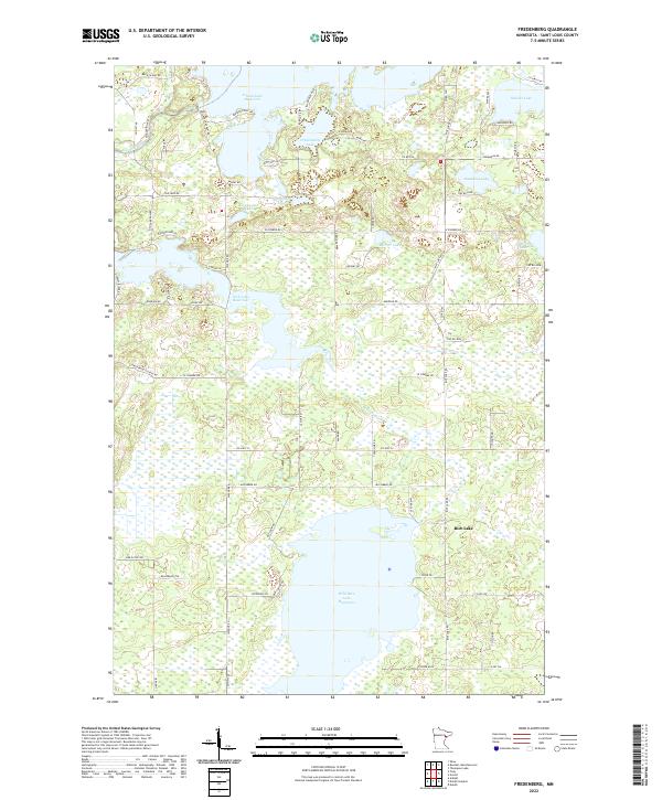
2022 Map of Fredenberg
USGS Topo · Published 2022About this map
Island Lake Reservoir and Wild Rice Lake Reservoir dominate this northern Minnesota landscape, where managed waterways and glacial lakes define the local geography. The map reveals a complex hydrologic network including the Cloquet River and the Beaver River, which feed into various smaller basins like Fredenberg Lake and Deepwater Lake. Residential development and recreational access are centered around these water bodies, evident in the network of local connectors such as Island Lake Dam Rd, Parsons Point Rd, and Driftwood Estates Rd.
Find a feature on this map
76 named features on this map. Tap any name to fly to it.
Don’t see what you’re looking for? This feature index may not catch every label — zoom into the map to look around manually.
Map Details
Editions of this 2022 Fredenberg Map
This is the sole edition of this map. No revisions or reprints were ever made.
Other maps of this area

1895 · Duluth
USGS Topo · 1:62,500

1953 · Twig
USGS Topo · 1:24,000

1953 · Shaw
USGS Topo · 1:24,000

1953 · Adolph
USGS Topo · 1:24,000

1953 · Arnold
USGS Topo · 1:24,000

1953 · Duluth
USGS Topo · 1:24,000

1953 · Duluth Heights
USGS Topo · 1:24,000

1953 · Boulder Lake Reservoir
USGS Topo · 1:24,000

1953 · Fredenberg
USGS Topo · 1:24,000

1953 · Duluth
USGS Topo · 1:62,500