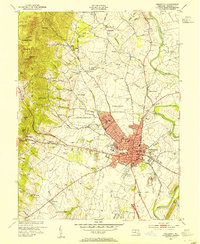
1953 Map of Frederick
USGS Topo · Published 1954About this map
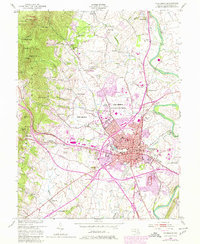
Frederick serves as the focal point of this mid-century survey, shown as the city expanded westward toward the base of Catoctin Mountain. This era captures the transition of Camp Detrick from its wartime origins into a permanent U S Military Reservation, situated just northwest of the dense urban core. The city's cultural and civic landscape is well-defined, featuring prominent institutions such as Hood College, the Visitation Academy, and the State School For the Deaf.
Find a feature on this map
81 named features on this map. Tap any name to fly to it.
Don’t see what you’re looking for? This feature index may not catch every label — zoom into the map to look around manually.
Map Details
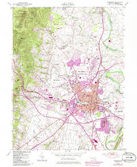
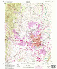
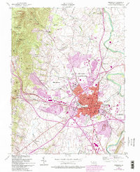
Editions of this 1953 Frederick Map
8 editions found
Other maps of this area

1884 · Harpers Ferry
USGS Topo · 1:125,000

1891 · Harpers Ferry
USGS Topo · 1:125,000

1893 · Frederick
USGS Topo · 1:125,000

1893 · Harpers Ferry
USGS Topo · 1:125,000

1894 · Frederick
USGS Topo · 1:125,000

1908 · Middletown
USGS Topo · 1:48,000

1908 · Ijamsville
USGS Topo · 1:62,500

1909 · Ijamsville
USGS Topo · 1:62,500

1909 · Hagerstown
USGS Topo · 1:48,000

1910 · Antietam
USGS Topo · 1:62,500