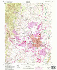
1953 Map of Frederick
USGS Topo · Published 1994About this map
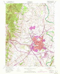
Frederick serves as the focal point of this 1953 landscape, showing a period of significant mid-century transition. The city is anchored by institutional landmarks such as Hood College, the Maryland School For the Deaf, and the historic Visitation Academy. To the north, the footprint of Fort Detrick is prominently established, including its role as a Cancer Research Center. The geography is defined by the sharp rise of the mountains to the west, where Gambrill State Park and the Frederick Municipal Forest provide a stark contrast to the developing valley floor.
Find a feature on this map
84 named features on this map. Tap any name to fly to it.
Don’t see what you’re looking for? This feature index may not catch every label — zoom into the map to look around manually.
Map Details
Editions of this 1953 Frederick Map
8 editions found
Other maps of this area

1884 · Harpers Ferry
USGS Topo · 1:125,000

1891 · Harpers Ferry
USGS Topo · 1:125,000

1893 · Frederick
USGS Topo · 1:125,000

1893 · Harpers Ferry
USGS Topo · 1:125,000

1894 · Frederick
USGS Topo · 1:125,000

1908 · Middletown
USGS Topo · 1:48,000

1908 · Ijamsville
USGS Topo · 1:62,500

1909 · Ijamsville
USGS Topo · 1:62,500

1909 · Hagerstown
USGS Topo · 1:48,000

1910 · Antietam
USGS Topo · 1:62,500