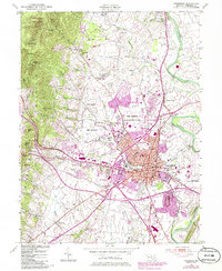
1953 Map of Frederick
USGS Topo · Published 1986About this map
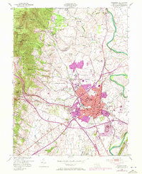
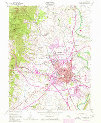
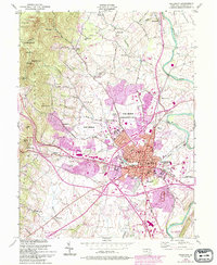
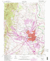
Catoctin Mountain dominates the western skyline of this mid-century landscape, sheltering the Frederick Municipal Forest and Gambrill State Park. Below the ridge, the historic city of Frederick serves as a dense core of institutional and civic life, featuring Hood College, the Visitation Academy, and the Maryland School For the Deaf. The town's religious and local history is anchored by St Johns Cem and the expansive Mt Olivet Cemetery near the fairgrounds.
Find a feature on this map
60 named features on this map. Tap any name to fly to it.
Don’t see what you’re looking for? This feature index may not catch every label — zoom into the map to look around manually.
Map Details
Editions of this 1953 Frederick Map
8 editions found
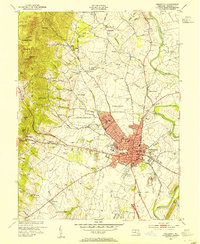
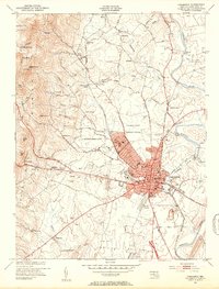
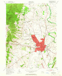
Other maps of this area

1884 · Harpers Ferry
USGS Topo · 1:125,000

1891 · Harpers Ferry
USGS Topo · 1:125,000

1893 · Frederick
USGS Topo · 1:125,000

1893 · Harpers Ferry
USGS Topo · 1:125,000

1894 · Frederick
USGS Topo · 1:125,000

1908 · Middletown
USGS Topo · 1:48,000

1908 · Ijamsville
USGS Topo · 1:62,500

1909 · Ijamsville
USGS Topo · 1:62,500

1909 · Hagerstown
USGS Topo · 1:48,000

1910 · Antietam
USGS Topo · 1:62,500