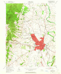
1953 Map of Frederick
USGS Topo · Published 1965About this map
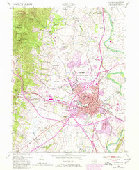
Camp Detrick and the expanding urban footprint of Frederick dominate the eastern valley floor, while the steep ridgeline of Catoctin Mountain rises sharply to the west. This mid-century landscape is defined by its deep institutional roots, featuring Hood College, the Visitation Academy, and the State School For the Deaf clustered near the town center. Outside the city, the transition from agricultural land to suburban development is evident, marked by community staples like the Braddock Drive-in Theater and the Fairgrounds.
Find a feature on this map
81 named features on this map. Tap any name to fly to it.
Don’t see what you’re looking for? This feature index may not catch every label — zoom into the map to look around manually.
Map Details
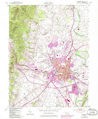
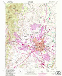
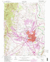
Editions of this 1953 Frederick Map
8 editions found
Other maps of this area

1884 · Harpers Ferry
USGS Topo · 1:125,000

1891 · Harpers Ferry
USGS Topo · 1:125,000

1893 · Frederick
USGS Topo · 1:125,000

1893 · Harpers Ferry
USGS Topo · 1:125,000

1894 · Frederick
USGS Topo · 1:125,000

1908 · Middletown
USGS Topo · 1:48,000

1908 · Ijamsville
USGS Topo · 1:62,500

1909 · Ijamsville
USGS Topo · 1:62,500

1909 · Hagerstown
USGS Topo · 1:48,000

1910 · Antietam
USGS Topo · 1:62,500