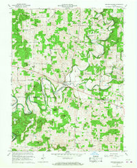
1966 Map of Fredericksburg
USGS Topo · Published 1968About this map
Blue River carves a winding path through this portion of southern Indiana, defining the border between Washington and Harrison counties. The settlement of Fredericksburg serves as a local hub near the river's center, while smaller communities like Bullington and Hardinsburg dot the surrounding uplands. A distinctive historical line, the Indian Treaty Boundary, cuts diagonally across the landscape, marking an era of westward expansion and early territorial division. The region's agricultural and industrial roots are evident in the presence of Greene Mill and McIntosh Mill, both situated near the water's edge to harness the river's power. Landforms such as Whittman Bottom and Walk Bottom highlight the fertile floodplains that supported these local economies, while numerous rural churches like Horners Chapel and Mt Carmel Ch provided the social framework for these 1960s farming communities.
Find a feature on this map
53 named features on this map. Tap any name to fly to it.
Don’t see what you’re looking for? This feature index may not catch every label — zoom into the map to look around manually.
Map Details
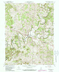
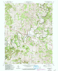
Editions of this 1966 Fredericksburg Map
3 editions found
Other maps of this area

1946 · Depauw
USGS Topo · 1:24,000

1947 · Hardinsburg
USGS Topo · 1:24,000

1948 · Milltown
USGS Topo · 1:24,000

1949 · Hardinsburg
USGS Topo · 1:24,000

1950 · Salem
USGS Topo · 1:24,000

1950 · Becks Mill
USGS Topo · 1:24,000

1950 · Palmyra
USGS Topo · 1:24,000

1953 · Fredericksburg
USGS Topo · 1:24,000
1954 · Crandall
USGS Topo · 1:24,000

1956 · Vincennes
USGS Topo · 1:250,000