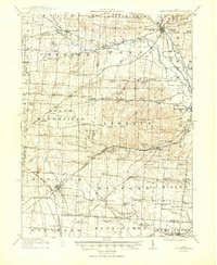
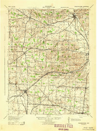
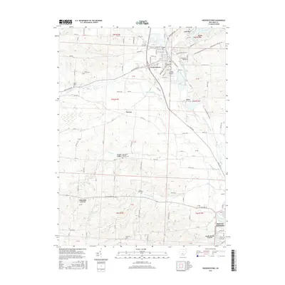
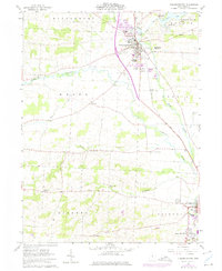
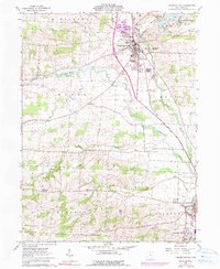
1961 Map of Fredericktown
USGS Topo · Published 1962About this map
The Kokosing River meanders through this portion of Knox County, anchoring a landscape defined by small-town agriculture and glacial topography. Fredericktown serves as the primary hub, surrounded by a series of family-named cemeteries and landmarks that speak to the area's deep-rooted history, including Forest Cem and Boyd Cem. Notable archaeological features like Braddock Mound and Rowley Mound indicate prehistoric activity long before the arrival of the Baltimore and Ohio railroad, which follows the river valley southward toward Mt Vernon.
Find a feature on this map
43 named features on this map. Tap any name to fly to it.
Don’t see what you’re looking for? This feature index may not catch every label — zoom into the map to look around manually.
Map Details
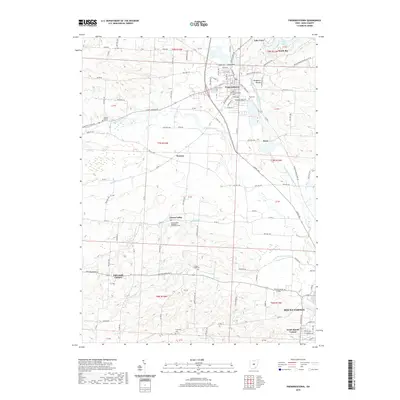
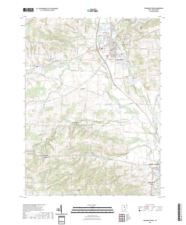
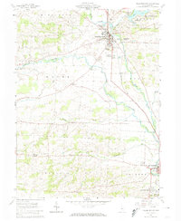
Editions of this 1961 Fredericktown Map
4 editions found
Historical Maps of Mount Vernon Through Time
7 maps found