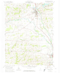
1961 Map of Fredericktown
USGS Topo · Published 1974About this map
Fredericktown serves as the primary hub of this Knox County landscape, anchored by the Baltimore and Ohio railroad corridor. The area is marked by a deep agricultural and community history, evidenced by localized centers like Dalrymple Corners, Dorema, and the Green Valley Grange Hall. To the north, the State Conservation Area around Knox Lake and South Bay provides a contrast to the industrial and agricultural activity further south.
Find a feature on this map
41 named features on this map. Tap any name to fly to it.
Don’t see what you’re looking for? This feature index may not catch every label — zoom into the map to look around manually.
Map Details
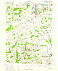
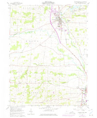
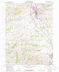
Editions of this 1961 Fredericktown Map
4 editions found
Other maps of this area

1912 · Gambier
USGS Topo · 1:62,500

1912 · Perrysville
USGS Topo · 1:62,500

1914 · Gambier
USGS Topo · 1:62,500

1915 · Perrysville
USGS Topo · 1:62,500

1915 · Shauck
USGS Topo · 1:62,500

1915 · Fredericktown
USGS Topo · 1:62,500

1943 · Shauck
USGS Topo · 1:62,500

1943 · Gambier
USGS Topo · 1:62,500

1943 · Fredericktown
USGS Topo · 1:62,500

1944 · Perrysville
USGS Topo · 1:62,500