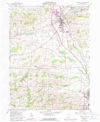
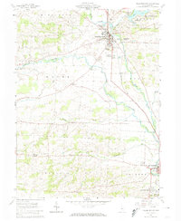
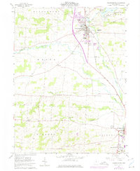
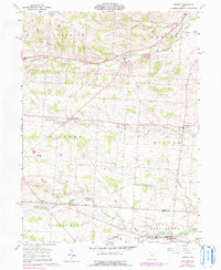
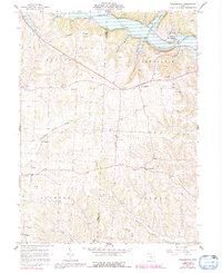
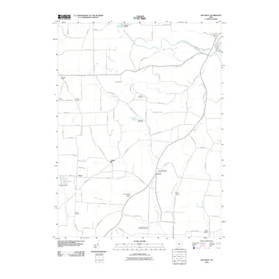
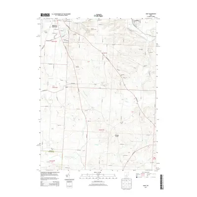
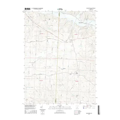
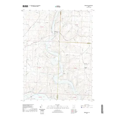
1961 Map of Fredricktown
USGS Topo · Published 1990About this map
The Kokosing River and its numerous tributaries, such as Granny Creek and Armstrong Run, define the central landscape of this Knox County region during the early 1960s. Fredericktown serves as the primary hub, where the Baltimore And Ohio railroad line intersects with the local road network. The map reveals a fascinating layering of human history, from the ancient earthworks at Braddock Mound and Rowley Mound to the mid-century agricultural community marked by Green Valley Grange Hall and Orange Hall.
Find a feature on this map
41 named features on this map. Tap any name to fly to it.
Don’t see what you’re looking for? This feature index may not catch every label — zoom into the map to look around manually.
Map Details
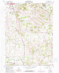
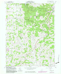
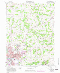
Editions of this 1961 Fredricktown Map
4 editions found

Historical Maps of Mount Vernon Through Time
32 maps found
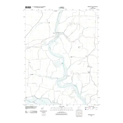
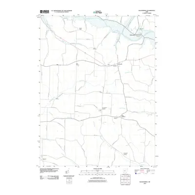
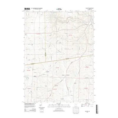
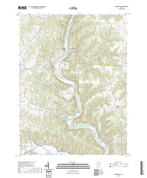
1961 Brinkhaven
Knox County, OH
1961 Fredricktown
Knox County, OH
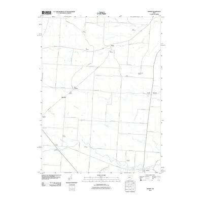
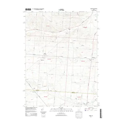
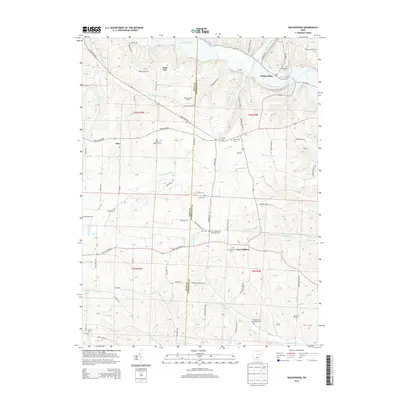
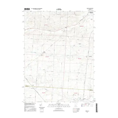
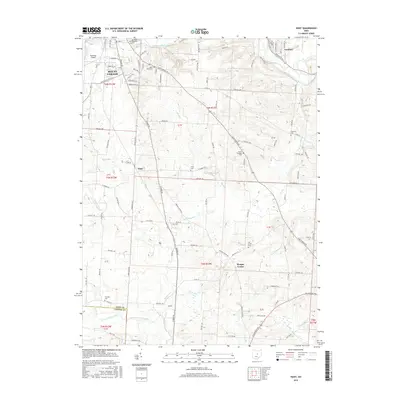
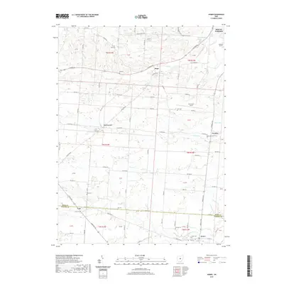
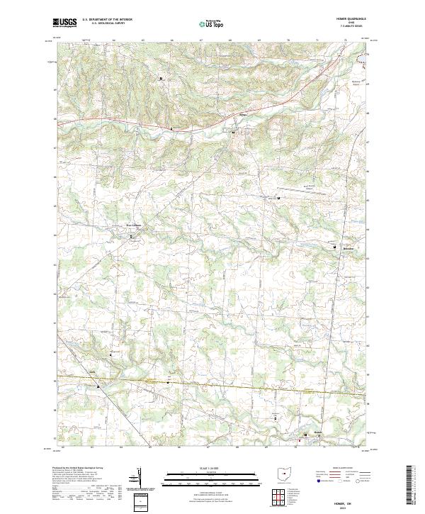
1961 Homer
Knox County, OH
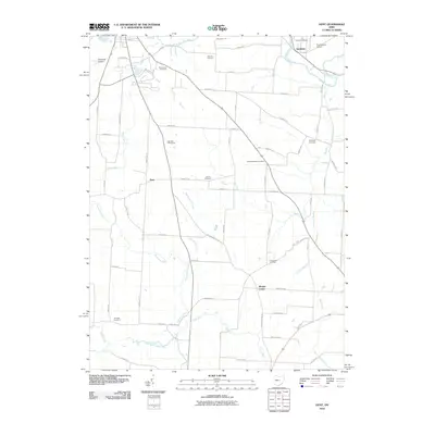
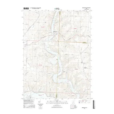
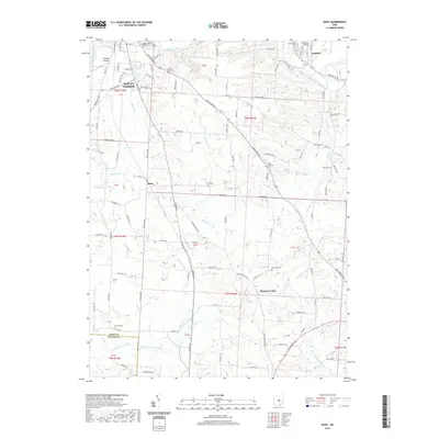
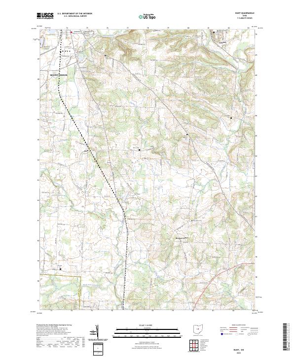
1961 Hunt
Knox County, OH
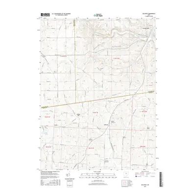
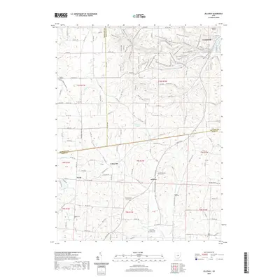
1961 Jelloway
Knox County, OH
1961 Mt Vernon
Knox County, OH
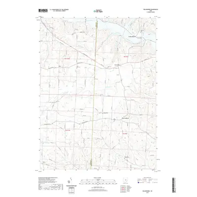
1961 Walhonding
Knox County, OH
2010 Brinkhaven
Knox County, OH
2010 Homer
Knox County, OH
2010 Hunt
Knox County, OH
2010 Jelloway
Knox County, OH
2010 Walhonding
Knox County, OH
2013 Brinkhaven
Knox County, OH
2013 Homer
Knox County, OH
2013 Hunt
Knox County, OH
2013 Jelloway
Knox County, OH
2013 Walhonding
Knox County, OH
2016 Brinkhaven
Knox County, OH
2016 Homer
Knox County, OH
2016 Hunt
Knox County, OH
2016 Jelloway
Knox County, OH
2016 Walhonding
Knox County, OH
2019 Brinkhaven
Knox County, OH
2019 Homer
Knox County, OH
2019 Hunt
Knox County, OH
2019 Jelloway
Knox County, OH
2019 Walhonding
Knox County, OH
2023 Brinkhaven
Knox County, OH
2023 Homer
Knox County, OH
2023 Hunt
Knox County, OH
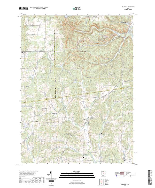
2023 Jelloway
Knox County, OH
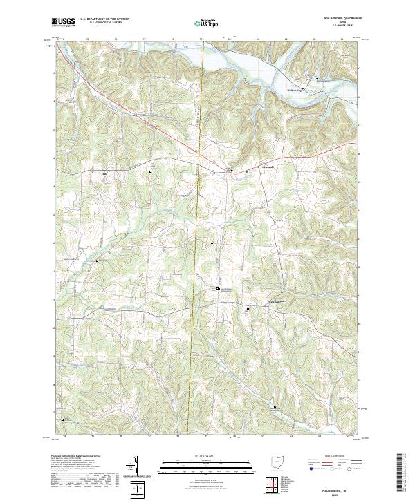
2023 Walhonding
Knox County, OH