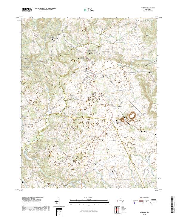
2022 Map of Fredonia
USGS Topo · Published 2022About this map
Fredonia serves as the central hub of this Western Kentucky landscape, situated where the borders of Caldwell, Crittenden, and Lyon Counties converge. The region is defined by a dense network of family-named landmarks and rural burying grounds, such as the Old Fredonia Cem and the Crider African American Cem, which speak to the deep ancestral roots of the local community. To the north, the small settlement of Mexico sits near the headwaters of Livingston Cr, an area marked by notable terrain features like Whitt Bluff and Stegar Bluff.
Find a feature on this map
92 named features on this map. Tap any name to fly to it.
Don’t see what you’re looking for? This feature index may not catch every label — zoom into the map to look around manually.
Map Details
Editions of this 2022 Fredonia Map
This is the sole edition of this map. No revisions or reprints were ever made.
Other maps of this area

1908 · Princeton
USGS Topo · 1:62,500

1909 · Providence
USGS Topo · 1:62,500

1910 · Princeton
USGS Topo · 1:62,500

1916 · Fords Ferry
USGS Topo · 1:62,500

1921 · Fords Ferry
USGS Topo · 1:48,000

1925 · Cave In Rock
USGS Topo · 1:62,500

1928 · Eddyville
USGS Topo · 1:48,000

1931 · Eddyville
USGS Topo · 1:62,500

1936 · Eddyville
USGS Topo · 1:48,000

1936 · Grand Rivers
USGS Topo · 1:24,000