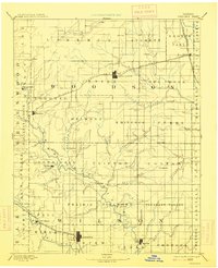
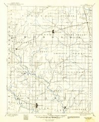
1894 Map of Fredonia
USGS Topo · Published 1914About this map
Fredonia and Yates Center serve as the primary hubs in this late 19th-century reconnaissance survey of Woodson and Wilson Counties. The landscape is defined by the convergence of several major rail lines, including the Missouri Kansas and Texas Railroad and the St Louis and San Francisco Railroad, which facilitated the growth of small trackside settlements like New Albany and Piqua.
Find a feature on this map
88 named features on this map. Tap any name to fly to it.
Don’t see what you’re looking for? This feature index may not catch every label — zoom into the map to look around manually.
Map Details
Editions of this 1894 Fredonia Map
6 editions found

Other maps of this area

1885 · Burlington
USGS Topo · 1:125,000

1885 · Eureka
USGS Topo · 1:125,000

1885 · Garnett
USGS Topo · 1:125,000

1885 · Sedan
USGS Topo · 1:125,000

1886 · Fredonia
USGS Topo · 1:125,000

1886 · Iola
USGS Topo · 1:125,000

1886 · Independence
USGS Topo · 1:125,000

1886 · Parsons
USGS Topo · 1:125,000

1888 · Emporia
USGS Topo · 1:125,000

1888 · Eureka
USGS Topo · 1:125,000