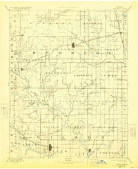
1894 Map of Fredonia
USGS Topo · Published 1924About this map
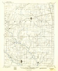
Fredonia and Yates Center anchor this late nineteenth-century survey of the Verdigris and Fall River valleys. The landscape is defined by its early rail connectivity, featuring the Missouri Kansas and Texas Railroad and the St. Louis and San Francisco Railroad cutting through the prairie. Smaller agricultural centers and post offices like Coyville, New Albany, and Toronto are shown in their developmental stages, often positioned near the numerous tributaries such as Village Creek and Cedar Creek. The map provides a rare look at vanished or renamed locales like Burdgeville, Guilford, and Coloma before the modern consolidation of rural communities. The detailed drainage patterns, including Turkey Creek and Owl Creek, reflect the importance of water access for the early livestock and farming economy of Woodson and Wilson counties.
Find a feature on this map
88 named features on this map. Tap any name to fly to it.
Don’t see what you’re looking for? This feature index may not catch every label — zoom into the map to look around manually.
Map Details
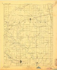
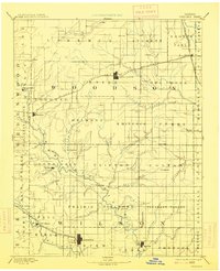
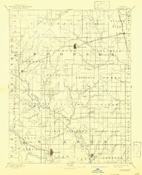
Editions of this 1894 Fredonia Map
6 editions found

Other maps of this area

1885 · Burlington
USGS Topo · 1:125,000

1885 · Eureka
USGS Topo · 1:125,000

1885 · Garnett
USGS Topo · 1:125,000

1885 · Sedan
USGS Topo · 1:125,000

1886 · Fredonia
USGS Topo · 1:125,000

1886 · Iola
USGS Topo · 1:125,000

1886 · Independence
USGS Topo · 1:125,000

1886 · Parsons
USGS Topo · 1:125,000

1888 · Emporia
USGS Topo · 1:125,000

1888 · Eureka
USGS Topo · 1:125,000