
1894 Map of Fredonia
USGS Topo · Published 1894About this map
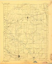
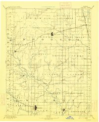
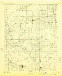
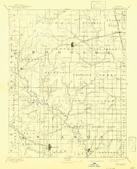
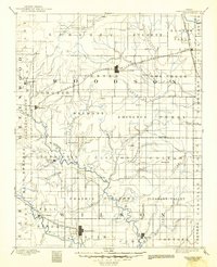
Fall River carves through the southern landscape of this late nineteenth-century prairie survey, anchoring the development of Fredonia and nearby New Albany. The region is defined by its early rail connectivity, with the St. Louis and San Francisco Railroad and the St. Louis Ft. Scott and Wichita Railroad creating vital links between burgeoning agricultural hubs. In the northern reaches, Yates Center serves as a prominent junction point, surrounded by a network of smaller communities such as Piqua and Toronto. The map reveals a highly structured township system where local life centered around watercourses like Turkey Creek and Cedar Creek. For those researching family history, the inclusion of specific landmarks like Twin Mounds and small settlements like Coyville, Guilford, and Burdgeville provides a precise look at the rural social geography before the turn of the century.
Find a feature on this map
83 named features on this map. Tap any name to fly to it.
Don’t see what you’re looking for? This feature index may not catch every label — zoom into the map to look around manually.
Map Details
Editions of this 1894 Fredonia Map
6 editions found
Other maps of this area

1885 · Burlington
USGS Topo · 1:125,000

1885 · Eureka
USGS Topo · 1:125,000

1885 · Garnett
USGS Topo · 1:125,000

1885 · Sedan
USGS Topo · 1:125,000

1886 · Fredonia
USGS Topo · 1:125,000

1886 · Iola
USGS Topo · 1:125,000

1886 · Independence
USGS Topo · 1:125,000

1886 · Parsons
USGS Topo · 1:125,000

1888 · Emporia
USGS Topo · 1:125,000

1888 · Eureka
USGS Topo · 1:125,000