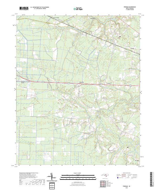
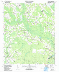
2022 Map of Freeman
USGS Topo · Published 2022About this map
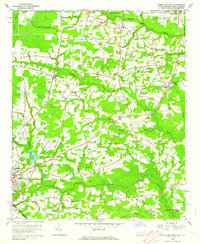
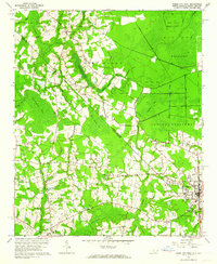
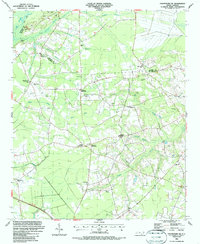
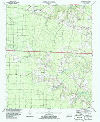
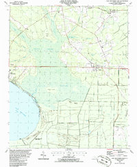
Livingston Creek and its many tributaries, including Johns Branch and Boggy Branch, dominate this lowland landscape along the border of Bladen and Columbus Counties. The settlement pattern is defined by small communities like Byrdville, Freeman, and Armour situated along the major east-west roadway and rail corridor. To the south, the terrain becomes increasingly complex with drainage features like Strauss Canal and Lateral Canal E, reflecting a long history of water management in the region's wetlands.
Find a feature on this map
72 named features on this map. Tap any name to fly to it.
Don’t see what you’re looking for? This feature index may not catch every label — zoom into the map to look around manually.
Map Details
Editions of this 2022 Freeman Map
This is the sole edition of this map. No revisions or reprints were ever made.
Historical Maps of North Carolina Through Time
24 maps found
1942 Juniper Creek
Columbus County, NC
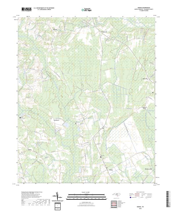
1943 Nakina
Columbus County, NC

1943 Pireway
Columbus County, NC
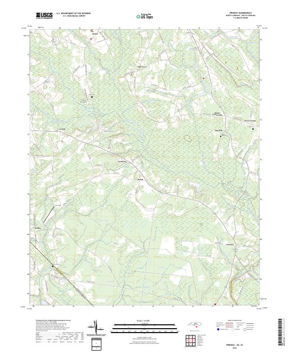
1953 Pireway
Columbus County, NC
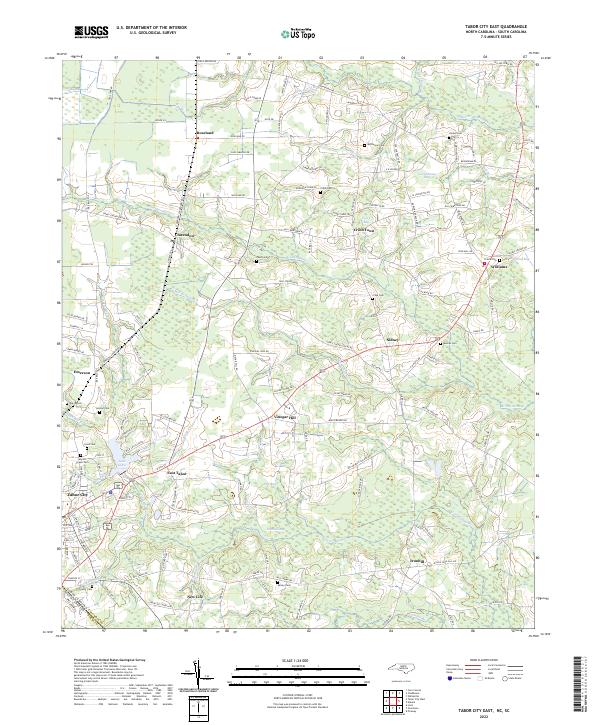
1962 Tabor City East
Columbus County, NC
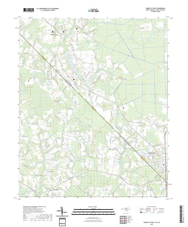
1962 Tabor City West
Columbus County, NC
1986 Chadbourn NE
Columbus County, NC
1986 Freeman
Columbus County, NC
1986 Lake Waccamaw East
Columbus County, NC

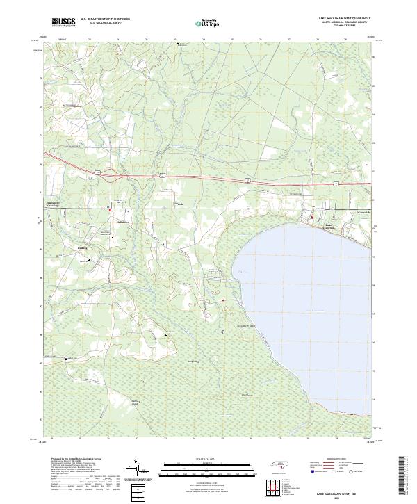
1987 Lake Waccamaw West
Columbus County, NC
1990 Juniper Creek
Columbus County, NC
1990 Nakina
Columbus County, NC
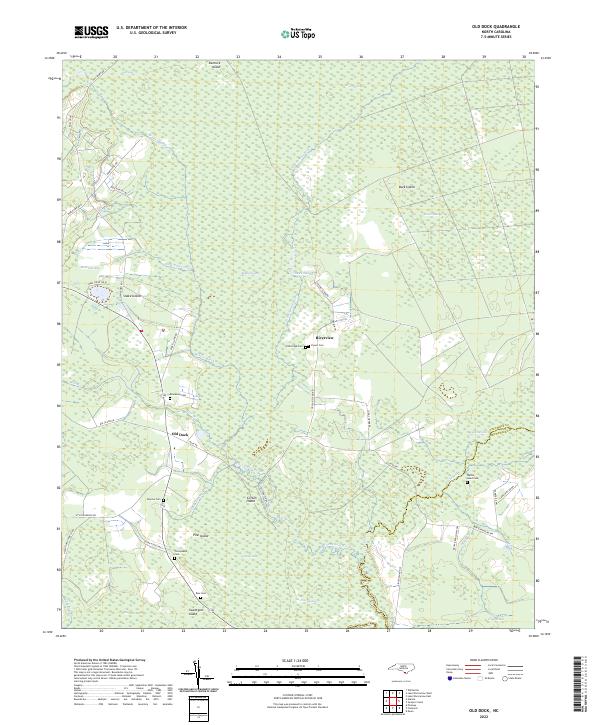
1990 Old Dock
Columbus County, NC
1990 Pireway
Columbus County, NC
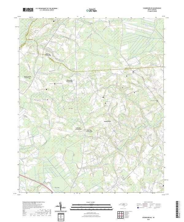
2022 Chadbourn NE
Columbus County, NC
2022 Freeman
Columbus County, NC
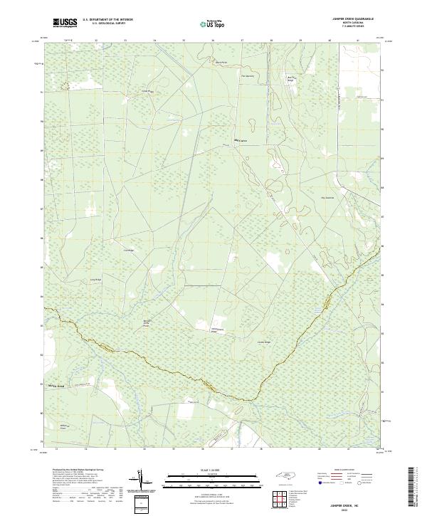
2022 Juniper Creek
Columbus County, NC
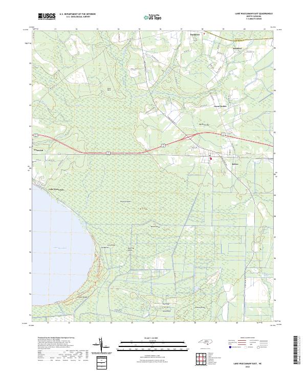
2022 Lake Waccamaw East
Columbus County, NC
2022 Lake Waccamaw West
Columbus County, NC
2022 Nakina
Columbus County, NC
2022 Old Dock
Columbus County, NC
2022 Pireway
Columbus County, NC
2022 Tabor City East
Columbus County, NC
2022 Tabor City West
Columbus County, NC