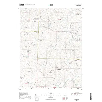
2019 Map of Freeport
USGS Topo · Published 2019About this map
Londonderry and Freeport anchor a landscape defined by the branching tributaries of Stillwater Creek and Skull Fork. This area of eastern Ohio, where the borders of Guernsey, Harrison, and Tuscarawas counties meet, is marked by numerous family and denominational burial grounds that speak to a deep-seated settlement history. The terrain is divided into several townships, including t11n r7w and t5n r1w, with rural life clustered around old churches and school sites. Notable landmarks like the Skull Fork Bridge and Hidden Haven Lake offer specific points of interest within the winding road network of Cadiz Rd and Crab Orchard Rd. Local genealogists will find significant value in the documentation of specific sites like the Scotch Covenanter Cem and Yankee Point Cem, which highlight the diverse early community roots of this region.
Find a feature on this map
133 named features on this map. Tap any name to fly to it.
Don’t see what you’re looking for? This feature index may not catch every label — zoom into the map to look around manually.
Map Details
Editions of this 2019 Freeport Map
This is the sole edition of this map. No revisions or reprints were ever made.
Other maps of this area

1902 · Scio
USGS Topo · 1:62,500

1903 · Flushing
USGS Topo · 1:62,500

1904 · Scio
USGS Topo · 1:62,500

1905 · Flushing
USGS Topo · 1:62,500

1909 · Antrim
USGS Topo · 1:48,000

1909 · Uhrichsville
USGS Topo · 1:62,500

1911 · Antrim
USGS Topo · 1:62,500

1911 · Uhrichsville
USGS Topo · 1:62,500

1951 · Canton
USGS Topo · 1:250,000

1953 · Canton
USGS Topo · 1:250,000