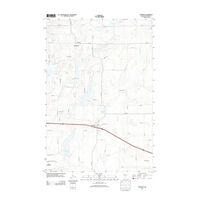
2013 Map of Freeport
USGS Topo · Published 2013About this map
Freeport serves as a central hub in this section of Stearns County, situated along a prominent transportation corridor that bisects the landscape. The settlement pattern here reflects a deeply rooted community structure, anchored by numerous religious and commemorative sites such as Sacred Heart Cem and Saint Rosa of Lima Cem near the northern settlement of Saint Rosa. To the southwest, New Munich marks another localized center of development near Immaculate Conception Cem.
Find a feature on this map
68 named features on this map. Tap any name to fly to it.
Don’t see what you’re looking for? This feature index may not catch every label — zoom into the map to look around manually.
Map Details
Editions of this 2013 Freeport Map
This is the sole edition of this map. No revisions or reprints were ever made.
Other maps of this area

1950 · Swanville
USGS Topo · 1:62,500

1953 · Saint Cloud
USGS Topo · 1:250,000

1957 · Saint Cloud
USGS Topo · 1:250,000

1958 · Saint Cloud
USGS Topo · 1:250,000

1965 · Albany
USGS Topo · 1:24,000

1965 · Farming
USGS Topo · 1:24,000

1965 · Greenwald
USGS Topo · 1:24,000

1965 · Melrose
USGS Topo · 1:24,000

1965 · Freeport
USGS Topo · 1:24,000

1965 · St Martin
USGS Topo · 1:24,000