
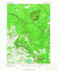
1957 Map of Freesoil
USGS Topo · Published 1958About this map
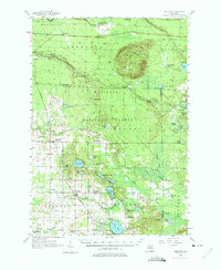
Udell Hills dominate the northern landscape of this survey, where the Udell Lookout Tower stands over a network of wetlands and small lakes within the Manistee National Forest. This mid-century view captures a transition in rural education, marking numerous defunct local institutions such as Howell Sch and Batcheller Sch while Tomaszewski Sch remains active. The Chesapeake and Ohio railroad corridor serves as the primary industrial spine, connecting the settlements of Freesoil and Fountain.
Find a feature on this map
84 named features on this map. Tap any name to fly to it.
Don’t see what you’re looking for? This feature index may not catch every label — zoom into the map to look around manually.
Map Details
Editions of this 1957 Freesoil Map
3 editions found
Other maps of this area

1931 · Custer NW
USGS Topo · 1:31,680

1931 · Baldwin NW
USGS Topo · 1:31,680

1931 · Custer NE
USGS Topo · 1:31,680

1931 · Manistee SE
USGS Topo · 1:31,680

1931 · Freesoil SW
USGS Topo · 1:31,680

1932 · Freesoil SE
USGS Topo · 1:31,680

1932 · Ludington NE
USGS Topo · 1:31,680

1933 · Peacock SW
USGS Topo · 1:31,680

1933 · Peacock NW
USGS Topo · 1:31,680

1954 · Traverse City
USGS Topo · 1:250,000
Featured Places
- Free Soil, Free Soil Township
- Fountain, Sherman Township
- Sherman Township, MI
- Batcheller, Sheridan Township
- Elk Township, MI