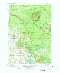
1957 Map of Freesoil
USGS Topo · Published 1975About this map
The Manistee National Forest defines the character of this mid-century landscape, where a transition from active rail lines to retired infrastructure is clearly visible. The Chesapeake and Ohio railroad serves the village of Freesoil, while an Old Railroad Grade snakes through the eastern woods, reflecting the era's evolving transport patterns. Local education and community life are captured through a series of rural landmarks, many of which were already noted as out of service by the late 1950s, such as Claybank Sch (Abandoned), Howell Sch (Abandoned), and Round Lake Sch (Abandoned).
Find a feature on this map
79 named features on this map. Tap any name to fly to it.
Don’t see what you’re looking for? This feature index may not catch every label — zoom into the map to look around manually.
Map Details
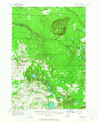
Editions of this 1957 Freesoil Map
3 editions found

Other maps of this area

1931 · Custer NW
USGS Topo · 1:31,680

1931 · Baldwin NW
USGS Topo · 1:31,680

1931 · Custer NE
USGS Topo · 1:31,680

1931 · Manistee SE
USGS Topo · 1:31,680

1931 · Freesoil SW
USGS Topo · 1:31,680

1932 · Freesoil SE
USGS Topo · 1:31,680

1932 · Ludington NE
USGS Topo · 1:31,680

1933 · Peacock SW
USGS Topo · 1:31,680

1933 · Peacock NW
USGS Topo · 1:31,680

1954 · Traverse City
USGS Topo · 1:250,000