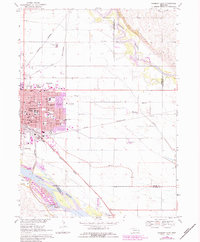
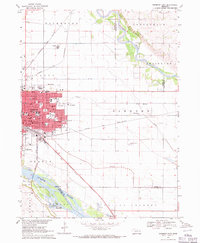
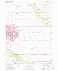
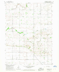
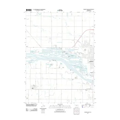
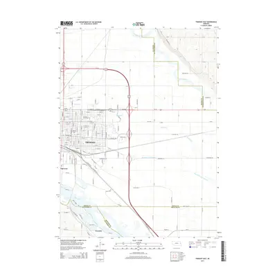
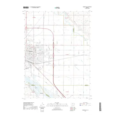
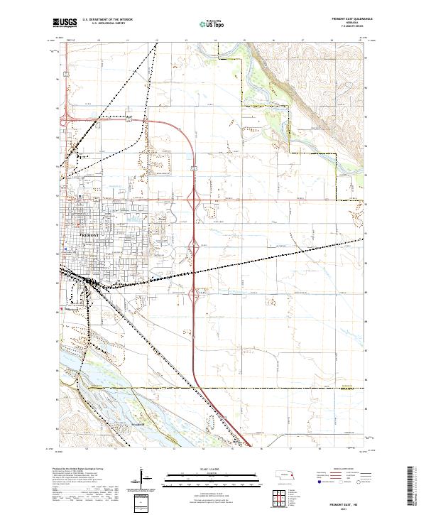
1968 Map of Fremont East
USGS Topo · Published 1983About this map
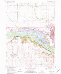
Fremont serves as a major agricultural and transportation hub where the Platte River and Elkhorn River converge. The landscape is defined by its strategic position at the junction of three major rail lines: the Burlington Northern, Chicago and North Western, and Union Pacific. This industrial foundation is complemented by the presence of the Chemical Plant and a sprawling residential core filled with educational institutions like Midland College, St Patricks Sch, and Central High Sch.
Find a feature on this map
48 named features on this map. Tap any name to fly to it.
Don’t see what you’re looking for? This feature index may not catch every label — zoom into the map to look around manually.
Map Details
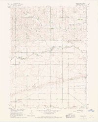
Editions of this 1968 Fremont East Map
3 editions found
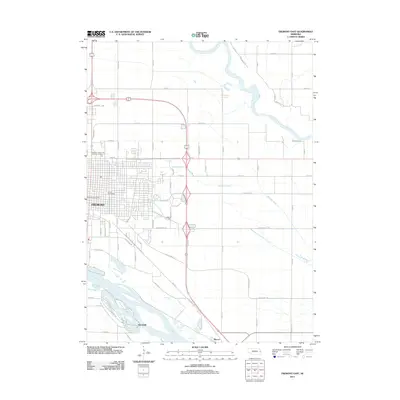
Historical Maps of Fremont Through Time
25 maps found
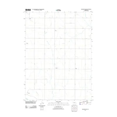
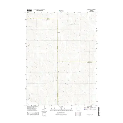
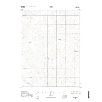
1966 Nickerson NW
Dodge County, NE
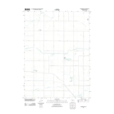
1966 Scribner SW
Dodge County, NE
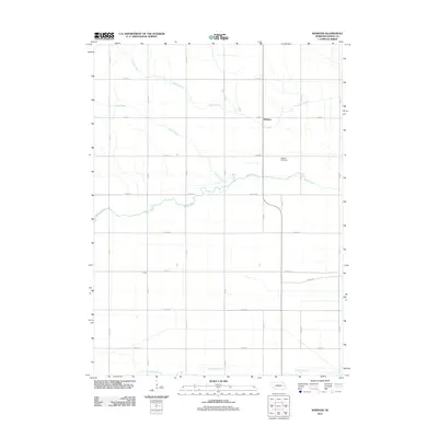
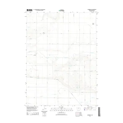
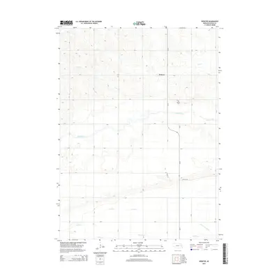
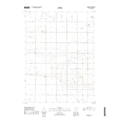
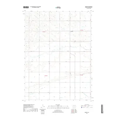
1966 Webster
Dodge County, NE
1968 Fremont East
Dodge County, NE
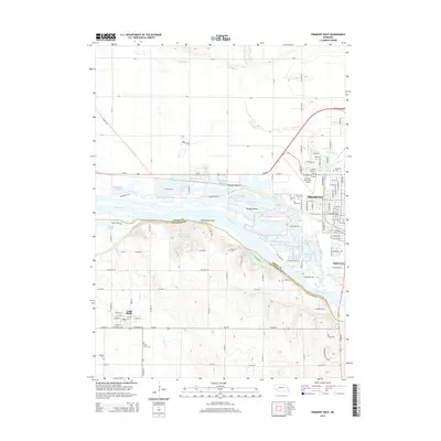
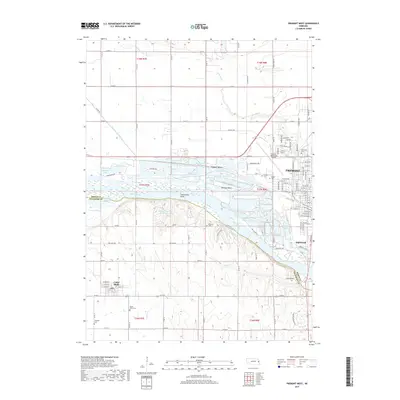
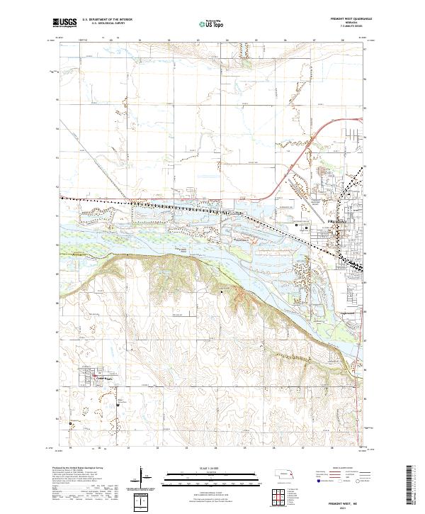
1968 Fremont West
Dodge County, NE
2011 Fremont East
Dodge County, NE
2011 Fremont West
Dodge County, NE
2011 Nickerson NW
Dodge County, NE
2011 Scribner SW
Dodge County, NE
2011 Webster
Dodge County, NE
2014 Fremont East
Dodge County, NE
2014 Fremont West
Dodge County, NE
2014 Nickerson NW
Dodge County, NE
2014 Scribner SW
Dodge County, NE
2014 Webster
Dodge County, NE
2017 Fremont East
Dodge County, NE
2017 Fremont West
Dodge County, NE
2017 Nickerson NW
Dodge County, NE
2017 Scribner SW
Dodge County, NE
2017 Webster
Dodge County, NE
2021 Fremont East
Dodge County, NE
2021 Fremont West
Dodge County, NE
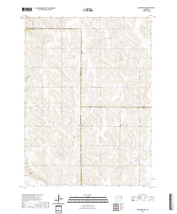
2021 Nickerson NW
Dodge County, NE
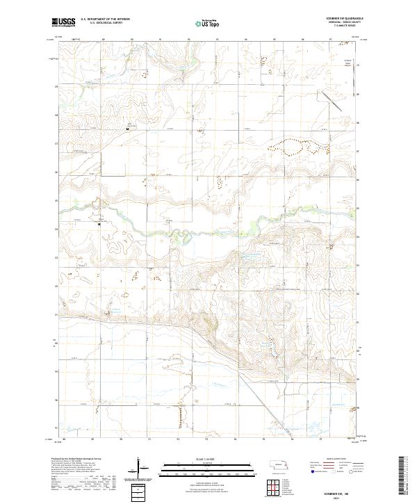
2021 Scribner SW
Dodge County, NE
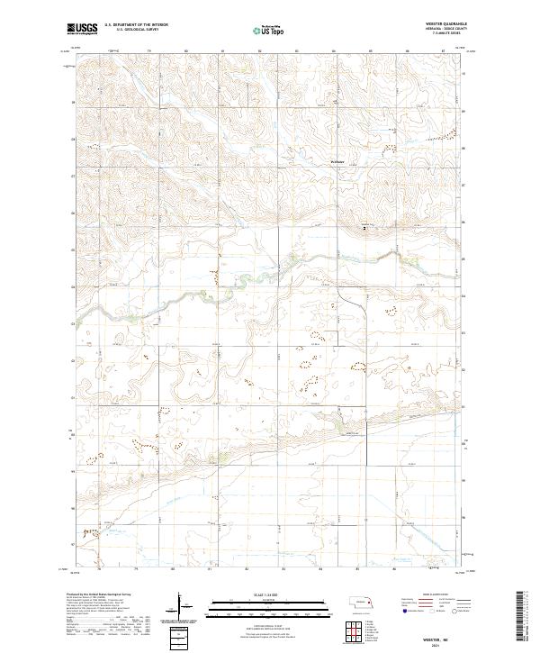
2021 Webster
Dodge County, NE