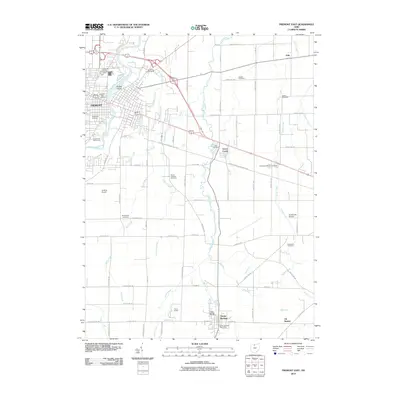
2010 Map of Fremont East
USGS Topo · Published 2010About this map
The Sandusky River carves through the landscape east of Fremont, framing a region defined by agricultural history and ancestral grounds. The presence of Bradys Island and multiple family-named burial sites, such as Whittlesey Cemetery and Bakertown Cemetery, underscores the long-standing settlement of the area. Public institutions are prominent, including the Sandusky County Fairgrounds and the Sandusky County Home near the river’s bend.
Find a feature on this map
76 named features on this map. Tap any name to fly to it.
Don’t see what you’re looking for? This feature index may not catch every label — zoom into the map to look around manually.
Map Details
Editions of this 2010 Fremont East Map
This is the sole edition of this map. No revisions or reprints were ever made.
Other maps of this area

1901 · Bellevue
USGS Topo · 1:62,500

1901 · Fremont
USGS Topo · 1:62,500

1903 · Bellevue
USGS Topo · 1:62,500

1903 · Fremont
USGS Topo · 1:62,500

1906 · Tiffin
USGS Topo · 1:62,500

1915 · Siam
USGS Topo · 1:62,500

1956 · Toledo
USGS Topo · 1:250,000
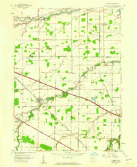
1957 · Lindsey
USGS Topo · 1:24,000

1957 · Vickery
USGS Topo · 1:24,000
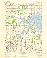
1957 · Wightmans Grove
USGS Topo · 1:24,000