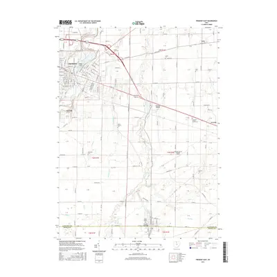
2016 Map of Fremont East
USGS Topo · Published 2016About this map
Bradys Island sits at a bend in the Sandusky River as it passes through eastern Fremont, serving as a central geographical anchor for this part of Sandusky County. The landscape transitions from the urbanized streets of Fremont and Ballville in the west to more open rural township lands punctuated by historic family and community burial grounds. Features such as County Home Cem and the Whittlesey Cem offer touchpoints for local researchers, while the Sandusky County Regional Airport marks the modern transportation infrastructure between Fremont and Clyde. To the south, the village of Green Springs straddles the border of Sandusky and Seneca counties, defined by natural hydrology like the Saint Francis Springs and drainage networks including Ferguson Ditch and Green Creek.
Find a feature on this map
56 named features on this map. Tap any name to fly to it.
Don’t see what you’re looking for? This feature index may not catch every label — zoom into the map to look around manually.
Map Details
Editions of this 2016 Fremont East Map
This is the sole edition of this map. No revisions or reprints were ever made.
Other maps of this area

1901 · Bellevue
USGS Topo · 1:62,500

1901 · Fremont
USGS Topo · 1:62,500

1903 · Bellevue
USGS Topo · 1:62,500

1903 · Fremont
USGS Topo · 1:62,500

1906 · Tiffin
USGS Topo · 1:62,500

1915 · Siam
USGS Topo · 1:62,500

1956 · Toledo
USGS Topo · 1:250,000
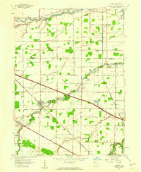
1957 · Lindsey
USGS Topo · 1:24,000

1957 · Vickery
USGS Topo · 1:24,000
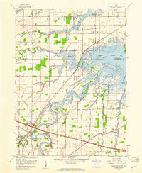
1957 · Wightmans Grove
USGS Topo · 1:24,000