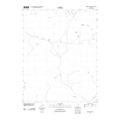
2011 Map of Fremont Pass
USGS Topo · Published 2011About this map
Fremont Pass serves as a central waypoint in this high-altitude landscape where Dog Valley Rd and Freemont Rd converge. This 2011 survey of Iron County reveals a terrain defined by drainage patterns and secluded water sources, including the well-defined Redcedar Spring and the seasonally variable Dry Lake. The map illustrates a high-country economy focused on movement and water access, with features like Coyote Lake and Joes Pond dotting the northern reaches.
Find a feature on this map
25 named features on this map. Tap any name to fly to it.
Don’t see what you’re looking for? This feature index may not catch every label — zoom into the map to look around manually.
Map Details
Editions of this 2011 Fremont Pass Map
This is the sole edition of this map. No revisions or reprints were ever made.
Other maps of this area

1885 · Beaver
USGS Topo · 1:250,000

1886 · Kanab
USGS Topo · 1:250,000

1953 · Richfield
USGS Topo · 1:250,000

1953 · Cedar City
USGS Topo · 1:250,000

1958 · Richfield
USGS Topo · 1:250,000

1958 · Cedar City
USGS Topo · 1:250,000

1962 · Cedar City
USGS Topo · 1:250,000

1966 · Bull Rush Peak
USGS Topo · 1:24,000

1966 · Circleville
USGS Topo · 1:24,000

1966 · Fremont Pass
USGS Topo · 1:24,000