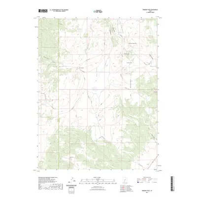
2023 Map of Fremont Pass
USGS Topo · Published 2023About this map
The Tushar Mountains dominate this high-altitude landscape along the border of Iron and Garfield counties. This 2023 survey documents a complex network of utility and access routes, including the Power Line Rd and numerous numbered tracks like Dog s16 and Dog s17 that traverse the high terrain. The geography is defined by a series of distinct valleys and hollows, such as Dog Valley and the aptly named Hell Hole, which are separated by prominent landmarks like Three Peaks and Little Dog Valley Peak.
Find a feature on this map
45 named features on this map. Tap any name to fly to it.
Don’t see what you’re looking for? This feature index may not catch every label — zoom into the map to look around manually.
Map Details
Editions of this 2023 Fremont Pass Map
This is the sole edition of this map. No revisions or reprints were ever made.
Other maps of this area

1885 · Beaver
USGS Topo · 1:250,000

1886 · Kanab
USGS Topo · 1:250,000

1953 · Richfield
USGS Topo · 1:250,000

1953 · Cedar City
USGS Topo · 1:250,000

1958 · Richfield
USGS Topo · 1:250,000

1958 · Cedar City
USGS Topo · 1:250,000

1962 · Cedar City
USGS Topo · 1:250,000

1966 · Bull Rush Peak
USGS Topo · 1:24,000

1966 · Circleville
USGS Topo · 1:24,000

1966 · Fremont Pass
USGS Topo · 1:24,000