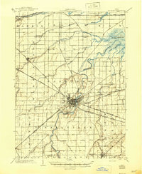
1903 Map of Fremont
USGS Topo · Published 1946About this map
The Sandusky River carves a winding path through the heart of this landscape, serving as the central axis for the city of Fremont. At the turn of the century, this region was a critical junction for Ohio's industrial transport, dominated by a complex web of steam and electric rail lines. The Lake Shore and Michigan Southern Railway and the Lake Shore Electric Railway parallel each other across the terrain, reflecting the era's transition toward high-speed interurban travel.
Find a feature on this map
48 named features on this map. Tap any name to fly to it.
Don’t see what you’re looking for? This feature index may not catch every label — zoom into the map to look around manually.
Map Details
Editions of this 1903 Fremont Map
2 editions found
Other maps of this area

1900 · Maumee Bay
USGS Topo · 1:62,500

1900 · Oak Harbor
USGS Topo · 1:62,500

1901 · Put-In-Bay
USGS Topo · 1:62,500

1901 · Bellevue
USGS Topo · 1:62,500

1901 · Fostoria
USGS Topo · 1:62,500

1901 · Fremont
USGS Topo · 1:62,500

1901 · Elmore
USGS Topo · 1:62,500

1903 · Bellevue
USGS Topo · 1:62,500

1903 · Fremont
USGS Topo · 1:62,500

1903 · Put In Bay
USGS Topo · 1:62,500