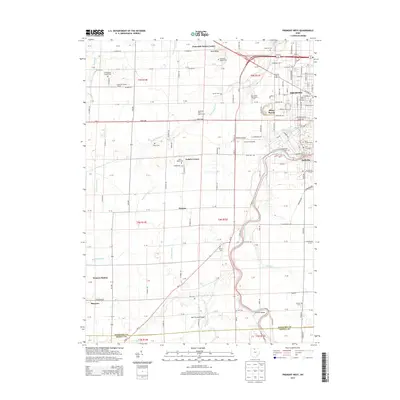
2013 Map of Fremont West
USGS Topo · Published 2013About this map
Fremont and the adjacent community of Ballville anchor this Sandusky County landscape where the Sandusky River winds through the eastern terrain. The geography is defined by a series of creek systems, including Muskellunge Cr, Wolf Cr, and Muddy Cr, which have influenced the development of small settlements and transportation corridors. To the west, the area transitions from the urbanized streets of Fremont to a predominantly agricultural layout, punctuated by localized landmarks like Stony Prairie and the Terra State Community Coll campus.
Find a feature on this map
145 named features on this map. Tap any name to fly to it.
Don’t see what you’re looking for? This feature index may not catch every label — zoom into the map to look around manually.
Map Details
Editions of this 2013 Fremont West Map
This is the sole edition of this map. No revisions or reprints were ever made.
Other maps of this area

1901 · Fostoria
USGS Topo · 1:62,500

1901 · Fremont
USGS Topo · 1:62,500

1901 · Elmore
USGS Topo · 1:62,500

1903 · Fremont
USGS Topo · 1:62,500

1903 · Fostoria
USGS Topo · 1:62,500

1903 · Elmore
USGS Topo · 1:62,500

1906 · Tiffin
USGS Topo · 1:62,500

1956 · Toledo
USGS Topo · 1:250,000
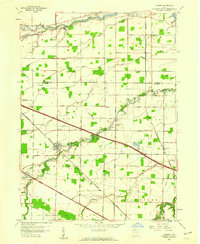
1957 · Lindsey
USGS Topo · 1:24,000
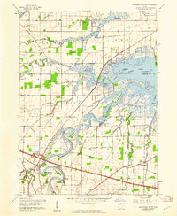
1957 · Wightmans Grove
USGS Topo · 1:24,000