2023 Map of Fremont West
USGS Topo · Published 2023About this map
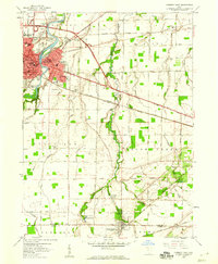
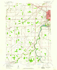
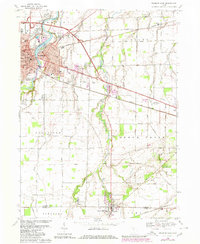
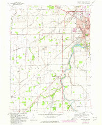
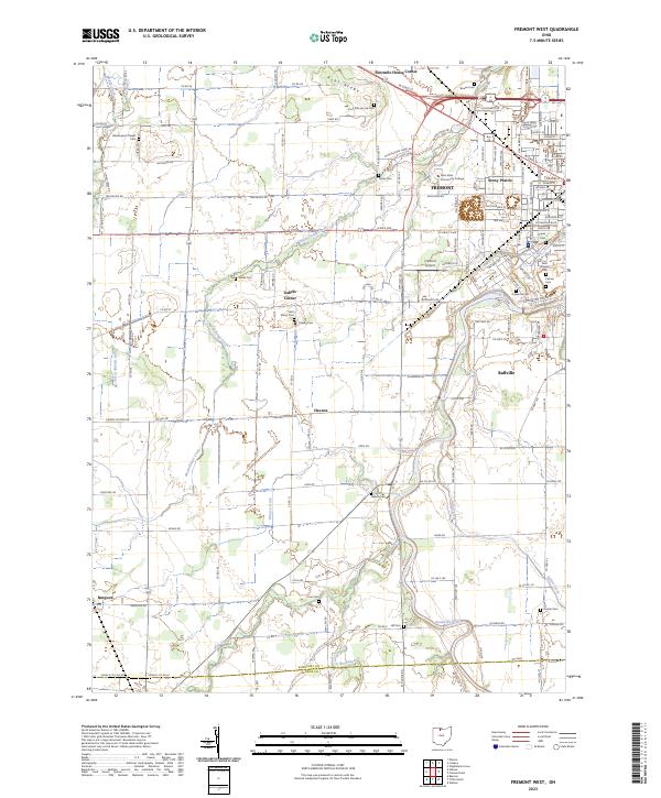
Fremont and its western outskirts are defined by the winding course of the Sandusky River and a dense network of country roads established on the township grid. This 2023 survey illustrates the modern footprint of settlements like Stony Prairie and Ballville, where residential development meets the agricultural reaches of Sandusky County. The map is a critical resource for genealogists, documenting numerous small burial grounds such as Washington Chapel Cem, Saint Marys Cem, and Bowlus Cem that dot the landscape between the waterways.
Find a feature on this map
108 named features on this map. Tap any name to fly to it.
Don’t see what you’re looking for? This feature index may not catch every label — zoom into the map to look around manually.
Map Details
Editions of this 2023 Fremont West Map
This is the sole edition of this map. No revisions or reprints were ever made.
Historical Maps of Fremont Through Time
6 maps found