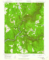
1948 Map of French Corral
USGS Topo · Published 1961About this map
French Corral and Bridgeport anchor this study of the Gold Country landscape along the South Yuba River during the late 1940s. The geography is defined by a legacy of hydraulic mining and water management, evidenced by the extensive network of the Browns Valley Ditch and Excelsior Ditch winding through the hills. While the San Juan Mine is noted as abandoned, the presence of the Yuba Powerhouse and the recently formed Englebright Reservoir indicate the region's shift toward hydroelectric power. Local family names persist at Richards Ranch and Schwartz Ranch, while a vanished era is marked by the Rice Crossing (Site). The map also identifies the Pleasant Valley Sch and a local Cem, providing valuable data points for those researching the early twentieth-century community of Pleasant Valley.
Find a feature on this map
41 named features on this map. Tap any name to fly to it.
Don’t see what you’re looking for? This feature index may not catch every label — zoom into the map to look around manually.
Map Details
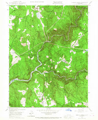
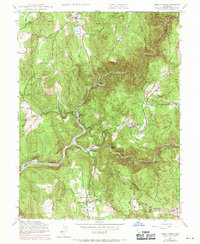
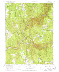
Editions of this 1948 French Corral Map
4 editions found
Other maps of this area

1888 · Smartsville
USGS Topo · 1:125,000

1891 · Smartsville
USGS Topo · 1:125,000

1892 · Smartsville
USGS Topo · 1:125,000

1894 · Smartsville
USGS Topo · 1:125,000

1895 · Smartsville
USGS Topo · 1:125,000

1941 · Bangor
USGS Topo · 1:62,500

1944 · Bangor
USGS Topo · 1:62,500

1948 · Nevada City
USGS Topo · 1:62,500
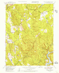
1948 · Oregon House
USGS Topo · 1:24,000
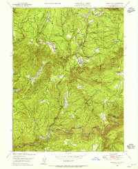
1948 · Camptonville
USGS Topo · 1:24,000