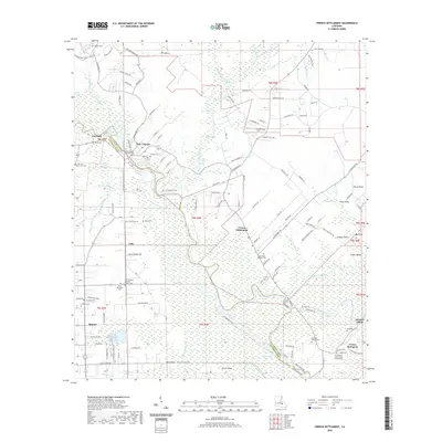
2020 Map of French Settlement
USGS Topo · Published 2020About this map
The Amite River snakes through the heart of the low-lying wetlands of Livingston Parish, forming a deep meander that defines the community of French Settlement. This modern survey illustrates the complex relationship between water and habitation in the Louisiana bayou country. The landscape is characterized by a dense network of watercourses including Colyell Bay, Boudreau Bayou, and King George Bayou, which dictate the placement of roads and homesteads.
Find a feature on this map
146 named features on this map. Tap any name to fly to it.
Don’t see what you’re looking for? This feature index may not catch every label — zoom into the map to look around manually.
Map Details
Editions of this 2020 French Settlement Map
This is the sole edition of this map. No revisions or reprints were ever made.
Other maps of this area

1892 · Mount Airy
USGS Topo · 1:62,500

1892 · Donaldsonville
USGS Topo · 1:62,500

1934 · Denham Springs
USGS Topo · 1:62,500

1934 · Springfield
USGS Topo · 1:62,500

1935 · Gonzales
USGS Topo · 1:31,680

1939 · Springfield
USGS Topo · 1:62,500

1939 · Denham Springs
USGS Topo · 1:62,500

1939 · Donaldsonville
USGS Topo · 1:62,500

1946 · Petite Amite River
USGS Topo · 1:31,680

1947 · Sorrento
USGS Topo · 1:31,680