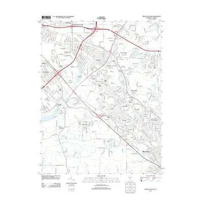
2012 Map of French Village
USGS Topo · Published 2012About this map
Belleville and the surrounding Saint Clair County suburbs appear in dense detail during the early 21st century, illustrating the complex suburban and industrial geography east of the Mississippi. The landscape is defined by its topographic variety, from the low-lying areas near Centreville and Alorton to the higher elevations of Signal Hill and Briar Hill. A notable concentration of cemeteries, including Saint Clair Memorial Park, Greenwood Cem, and Mount Carmel Cem, suggests the long-established communities and ancestral roots tied to this region.
Find a feature on this map
104 named features on this map. Tap any name to fly to it.
Don’t see what you’re looking for? This feature index may not catch every label — zoom into the map to look around manually.
Map Details
Editions of this 2012 French Village Map
This is the sole edition of this map. No revisions or reprints were ever made.
Other maps of this area

1888 · St. Louis
USGS Topo · 1:62,500

1907 · Belleville
USGS Topo · 1:62,500

1910 · Waterloo
USGS Topo · 1:62,500

1912 · New Athens
USGS Topo · 1:62,500

1913 · Waterloo
USGS Topo · 1:62,500

1931 · French Village
USGS Topo · 1:24,000

1933 · Granite City
USGS Topo · 1:24,000

1933 · Cahokia
USGS Topo · 1:24,000

1934 · Cahokia
USGS Topo · 1:24,000

1935 · French Village
USGS Topo · 1:24,000