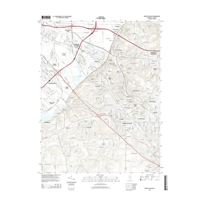
2015 Map of French Village
USGS Topo · Published 2015About this map
American Bottoms defines the low-lying western portion of this landscape, where the floodplains of the Mississippi River meet the rising bluffs of Saint Clair County. This 2015 snapshot of the region shows a dense network of suburban and industrial development bridging the gap between East St. Louis and the uplands of Belleville. The topographic transition is marked by prominent features like Clarks Mound and several hollows, including Negro Hollow and Persimmon Hollow, which cut through the ridge line.
Find a feature on this map
77 named features on this map. Tap any name to fly to it.
Don’t see what you’re looking for? This feature index may not catch every label — zoom into the map to look around manually.
Map Details
Editions of this 2015 French Village Map
This is the sole edition of this map. No revisions or reprints were ever made.
Other maps of this area

1888 · St. Louis
USGS Topo · 1:62,500

1907 · Belleville
USGS Topo · 1:62,500

1910 · Waterloo
USGS Topo · 1:62,500

1912 · New Athens
USGS Topo · 1:62,500

1913 · Waterloo
USGS Topo · 1:62,500

1931 · French Village
USGS Topo · 1:24,000

1933 · Granite City
USGS Topo · 1:24,000

1933 · Cahokia
USGS Topo · 1:24,000

1934 · Cahokia
USGS Topo · 1:24,000

1935 · French Village
USGS Topo · 1:24,000