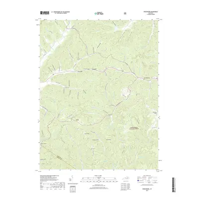
2019 Map of Frenchburg
USGS Topo · Published 2019About this map
Frenchburg serves as the primary hub in this portion of the Cumberland Plateau, where the dissected topography of the Daniel Boone National Forest dictates the flow of settlement and travel. Small communities like Rothwell, Cornwell, and Fagan are situated along the winding valley floors and narrow ridges, connected by roads such as Old US Hwy 460 and Cemetery Rd. The map reveals a high density of small family and community burial grounds, including Patrick Cem, Jewell Cem, and Reffitt Cem, which are scattered throughout the hollows and elevated reaches of Hatton Ridge.
Find a feature on this map
95 named features on this map. Tap any name to fly to it.
Don’t see what you’re looking for? This feature index may not catch every label — zoom into the map to look around manually.
Map Details
Editions of this 2019 Frenchburg Map
This is the sole edition of this map. No revisions or reprints were ever made.
Other maps of this area

1892 · Beattyville
USGS Topo · 1:125,000

1929 · Salt Lick
USGS Topo · 1:62,500

1934 · Salt Lick
USGS Topo · 1:62,500

1951 · Pomeroyton
USGS Topo · 1:24,000

1952 · Preston
USGS Topo · 1:24,000

1952 · Scranton
USGS Topo · 1:24,000

1952 · Frenchburg
USGS Topo · 1:24,000

1952 · Stanton
USGS Topo · 1:24,000

1952 · Means
USGS Topo · 1:24,000

1952 · Slade
USGS Topo · 1:24,000