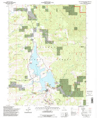
1994 Map of Frenchman Lake
USGS Topo · Published 1998About this map
Frenchman Lake and the high elevations of the Diamond Mountains anchor this 1994 revision of the northeastern Sierra Nevada landscape. The topography reflects a region managed for recreation and conservation, defined by the Plumas National Forest and a substantial State Game Refuge along the western ridges. Human footprints are concentrated around the reservoir, where a Boat Ramp and Big Cove indicate the area's transition into a modern outdoor destination, while older cattle-grazing or logging camps like Camp Dixie and Grigsby Camp suggest the land's traditional uses.
Find a feature on this map
35 named features on this map. Tap any name to fly to it.
Don’t see what you’re looking for? This feature index may not catch every label — zoom into the map to look around manually.
Map Details
Editions of this 1994 Frenchman Lake Map
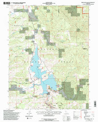
2 editions found
Other maps of this area

1886 · Honey Lake
USGS Topo · 1:250,000

1890 · Sierraville
USGS Topo · 1:125,000

1891 · Honey Lake
USGS Topo · 1:250,000

1892 · Sierraville
USGS Topo · 1:125,000

1893 · Honey Lake
USGS Topo · 1:250,000

1894 · Sierraville
USGS Topo · 1:125,000

1950 · Chilcoot
USGS Topo · 1:62,500

1950 · Portola
USGS Topo · 1:62,500

1950 · Milford
USGS Topo · 1:62,500

1954 · Doyle
USGS Topo · 1:62,500