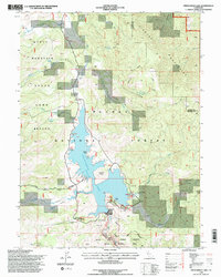
1994 Map of Frenchman Lake
USGS Topo · Published 1998About this map
Frenchman Lake dominates this section of the Plumas National Forest, its shoreline defined by landmarks such as Turkey Point, Crystal Vista, and Big Cove. Compiled from decades of aerial photography and updated in the mid-1990s, the landscape reflects a high-altitude wilderness managed for both recreation and conservation, featuring the State Game Refuge and the Little Last Chance Canyon Special Interest Area.
Find a feature on this map
40 named features on this map. Tap any name to fly to it.
Don’t see what you’re looking for? This feature index may not catch every label — zoom into the map to look around manually.
Map Details
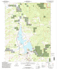
Editions of this 1994 Frenchman Lake Map
2 editions found
Other maps of this area

1886 · Honey Lake
USGS Topo · 1:250,000

1890 · Sierraville
USGS Topo · 1:125,000

1891 · Honey Lake
USGS Topo · 1:250,000

1892 · Sierraville
USGS Topo · 1:125,000

1893 · Honey Lake
USGS Topo · 1:250,000

1894 · Sierraville
USGS Topo · 1:125,000

1950 · Chilcoot
USGS Topo · 1:62,500

1950 · Portola
USGS Topo · 1:62,500

1950 · Milford
USGS Topo · 1:62,500

1954 · Doyle
USGS Topo · 1:62,500