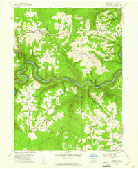
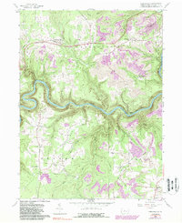
1959 Map of Frenchville
USGS Topo · Published 1961About this map
Frenchville and the surrounding townships in Clearfield County are defined by a complex landscape of deep river valleys and industrial activity in the late 1950s. The West Branch Susquehanna River carves a sharp, serpentine path through the center of the sheet, followed closely by the New York Central railroad line. This era shows the extensive footprint of the coal industry, with numerous Strip Mines and individual mines dotting the plateaus above the river banks, particularly around Keewaydin and Guenot Settlement.
Find a feature on this map
48 named features on this map. Tap any name to fly to it.
Don’t see what you’re looking for? This feature index may not catch every label — zoom into the map to look around manually.
Map Details
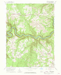
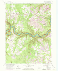
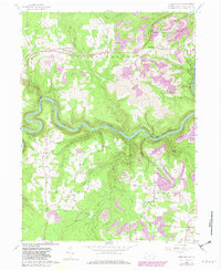
Editions of this 1959 Frenchville Map
5 editions found
Other maps of this area

1903 · Houtzdale
USGS Topo · 1:62,500

1905 · Houtzdale
USGS Topo · 1:62,500

1922 · Philipsburg
USGS Topo · 1:62,500

1929 · Karthaus
USGS Topo · 1:62,500

1929 · Clearfield
USGS Topo · 1:48,000

1932 · Clearfield
USGS Topo · 1:62,500

1932 · Karthaus
USGS Topo · 1:62,500

1939 · Philipsburg
USGS Topo · 1:62,500

1945 · Philipsburg
USGS Topo · 1:62,500
1945 · Wallaceton
USGS Topo · 1:24,000
Featured Places
- Karthaus Township, PA
- Rolling Stone, Covington Township
- Keewaydin, Covington Township
- Guenot Settlement, Covington Township
- Sylvan Grove, Cooper Township