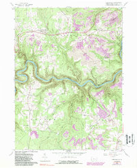
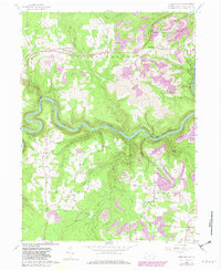
1959 Map of Frenchville
USGS Topo · Published 1988About this map
The West Branch Susquehanna River winds deeply through the center of this Clearfield County landscape, where the Conrail line follows the northern bank past landmarks like Rolling Stone. Settlement patterns here reflect a mix of plateau farming and industrial extraction, with numerous strip mines appearing in later updates across the northern and southern ridges. To the north, the community of Frenchville sits near Sandy Creek, while Keewaydin and Guenot Settlement anchor the northeastern sections. This mid-century survey captures the rural character of central Pennsylvania, highlighting small religious centers like St Johns Ch and Sylvan Grove Ch. Waterways such as Alder Run, Mowry Run, and Grimes Run drain the steep hillsides, defining the boundaries for the townships of Girard, Covington, and Graham.
Find a feature on this map
43 named features on this map. Tap any name to fly to it.
Don’t see what you’re looking for? This feature index may not catch every label — zoom into the map to look around manually.
Map Details
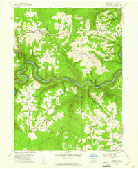
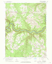
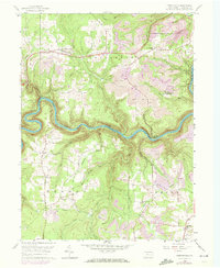
Editions of this 1959 Frenchville Map
5 editions found
Other maps of this area

1903 · Houtzdale
USGS Topo · 1:62,500

1905 · Houtzdale
USGS Topo · 1:62,500

1922 · Philipsburg
USGS Topo · 1:62,500

1929 · Karthaus
USGS Topo · 1:62,500

1929 · Clearfield
USGS Topo · 1:48,000

1932 · Clearfield
USGS Topo · 1:62,500

1932 · Karthaus
USGS Topo · 1:62,500

1939 · Philipsburg
USGS Topo · 1:62,500

1945 · Philipsburg
USGS Topo · 1:62,500
1945 · Wallaceton
USGS Topo · 1:24,000
Featured Places
- Karthaus Township, PA
- Rolling Stone, Covington Township
- Keewaydin, Covington Township
- Guenot Settlement, Covington Township
- Sylvan Grove, Cooper Township