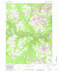
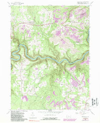
1959 Map of Frenchville
USGS Topo · Published 1982About this map
The West Branch Susquehanna River carves a deep, winding path through this portion of Clearfield County, defining the local geography as it flows past Rolling Stone. In the late 1950s, the landscape was a mix of small agricultural hamlets and intensive resource extraction, characterized by numerous strip mines that appear across the higher elevations of Covington and Karthaus townships. Several clustered communities provide focal points for local history, including the Catholic influence at St Johns Ch near Keewaydin and the remote Guenot Settlement situated north of Rock Run. Transport through the river valley is anchored by the Conrail line, which follows the southern bank. Further south, the rural character of Graham and Cooper townships is marked by scattered schools, cemeteries, and churches such as Sylvan Grove Ch, serving the residents of Palestine, Hubler, and Kylertown.
Find a feature on this map
41 named features on this map. Tap any name to fly to it.
Don’t see what you’re looking for? This feature index may not catch every label — zoom into the map to look around manually.
Map Details
Editions of this 1959 Frenchville Map
5 editions found
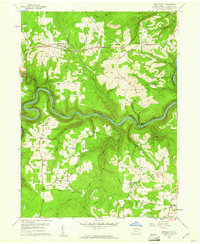
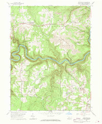
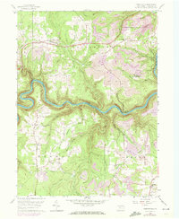
Other maps of this area

1903 · Houtzdale
USGS Topo · 1:62,500

1905 · Houtzdale
USGS Topo · 1:62,500

1922 · Philipsburg
USGS Topo · 1:62,500

1929 · Karthaus
USGS Topo · 1:62,500

1929 · Clearfield
USGS Topo · 1:48,000

1932 · Clearfield
USGS Topo · 1:62,500

1932 · Karthaus
USGS Topo · 1:62,500

1939 · Philipsburg
USGS Topo · 1:62,500

1945 · Philipsburg
USGS Topo · 1:62,500
1945 · Wallaceton
USGS Topo · 1:24,000
Featured Places
- Karthaus Township, PA
- Rolling Stone, Covington Township
- Keewaydin, Covington Township
- Guenot Settlement, Covington Township
- Sylvan Grove, Cooper Township