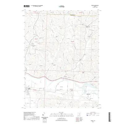
2019 Map of Fresno
USGS Topo · Published 2019About this map
The Tuscarawas River valley carves through the heart of Coshocton County, anchoring a landscape defined by small farming communities and family burial grounds. Near the confluence of White Eyes Creek and E Fork White Eyes Cr, the village of Fresno sits just north of Progressive Valley. The mapping of this rural corridor reveals an exceptionally high density of historic cemeteries, such as the Bakersville Presbyterian Cem and Woods College Cem, which speak to the deep genealogical roots of the area's early settlers.
Find a feature on this map
58 named features on this map. Tap any name to fly to it.
Don’t see what you’re looking for? This feature index may not catch every label — zoom into the map to look around manually.
Map Details
Editions of this 2019 Fresno Map
This is the sole edition of this map. No revisions or reprints were ever made.
Other maps of this area
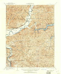
1908 · Conesville
USGS Topo · 1:62,500

1909 · Cambridge
USGS Topo · 1:62,500
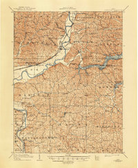
1910 · Conesville
USGS Topo · 1:62,500
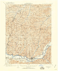
1911 · Newcomerstown
USGS Topo · 1:62,500
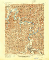
1912 · Cambridge
USGS Topo · 1:62,500
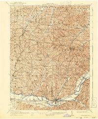
1913 · Newcomerstown
USGS Topo · 1:62,500
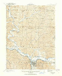
1913 · Coshocton
USGS Topo · 1:62,500
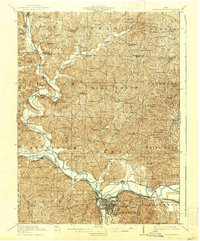
1915 · Coshocton
USGS Topo · 1:62,500
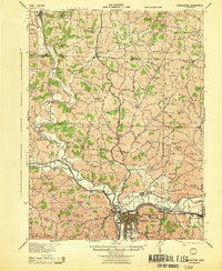
1943 · Coshocton
USGS Topo · 1:62,500
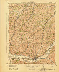
1943 · Newcomerstown
USGS Topo · 1:62,500