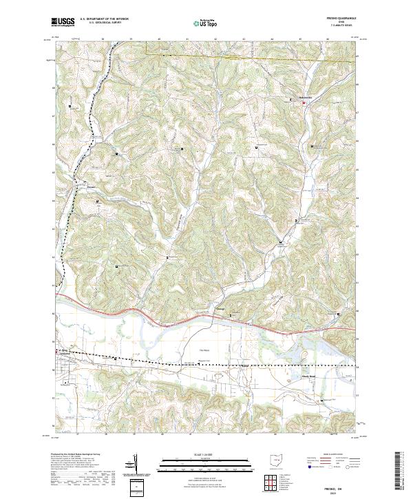
2023 Map of Fresno
USGS Topo · Published 2023About this map
The Tuscarawas River carves through the southern portion of this landscape, defining the character of the valley floor where The Plains and West Lafayette are situated. This area reflects a dense pattern of early rural settlement, characterized by numerous family-named burial grounds and small communities connected by winding township roads. Along the northern reaches, Bakersville serves as a local hub near Hothem Ridge, while the central terrain is deeply dissected by the White Eyes Creek and its branches, including the East Fork White Eyes Creek. The concentration of sites like Woods College and Clapboard Cem provides significant points of interest for those tracing the social and educational geography of this part of Ohio. The transition from the alluvial flats of Shady Bend to the surrounding ridges like Chestnut Ridge illustrates the historic reliance on river proximity for transit and agriculture.
Find a feature on this map
117 named features on this map. Tap any name to fly to it.
Don’t see what you’re looking for? This feature index may not catch every label — zoom into the map to look around manually.
Map Details
Editions of this 2023 Fresno Map
This is the sole edition of this map. No revisions or reprints were ever made.
Other maps of this area

1908 · Conesville
USGS Topo · 1:62,500

1909 · Cambridge
USGS Topo · 1:62,500

1910 · Conesville
USGS Topo · 1:62,500

1911 · Newcomerstown
USGS Topo · 1:62,500

1912 · Cambridge
USGS Topo · 1:62,500

1913 · Newcomerstown
USGS Topo · 1:62,500

1913 · Coshocton
USGS Topo · 1:62,500

1915 · Coshocton
USGS Topo · 1:62,500

1943 · Coshocton
USGS Topo · 1:62,500

1943 · Newcomerstown
USGS Topo · 1:62,500
Featured Places
- West Lafayette, OH
- Adams Township, OH
- White Eyes Township, OH
- Lafayette Township, OH
- Oxford Township, OH