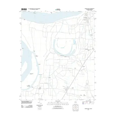
2011 Map of Friars Point
USGS Topo · Published 2011About this map
Friars Point stands as the primary riverfront hub in this Coahoma County landscape, where the Mississippi River defines the western border with complex features like the Bend of Island Number Sixty Three and Kangaroo Point Dikes. The map reveals a transition from the active river channel to the fertile alluvial plains, marked by a series of landings including Fitzhugh Landing, McWilliams Landing, and Ledbetter Landing that hint at the region's historic dependence on waterborne commerce. Moving inland, the terrain is networked by the Big Sunflower River and drainage features like Richies Bayou. Small agricultural settlements such as Stovall, Humber, and Farrell are scattered throughout the interior, each anchored by local landmarks like the Humber Cemetery or Zion Traveler Cemetery. The oxbow of Horseshoe Lake and its associated Horseshoe Revetment illustrate the ongoing engineering efforts to manage the river's shifting course.
Find a feature on this map
65 named features on this map. Tap any name to fly to it.
Don’t see what you’re looking for? This feature index may not catch every label — zoom into the map to look around manually.
Map Details
Editions of this 2011 Friars Point Map
This is the sole edition of this map. No revisions or reprints were ever made.
Other maps of this area

1908 · Coahoma
USGS Topo · 1:24,000

1908 · Moon Lake
USGS Topo · 1:24,000

1910 · Coahoma
USGS Topo · 1:31,680

1912 · Moon Lake
USGS Topo · 1:31,680

1930 · Mellwood
USGS Topo · 1:62,500

1935 · Clarksdale
USGS Topo · 1:62,500

1939 · Farrell
USGS Topo · 1:62,500

1939 · Modoc
USGS Topo · 1:62,500

1939 · Clarksdale
USGS Topo · 1:62,500

1939 · Mellwood
USGS Topo · 1:62,500