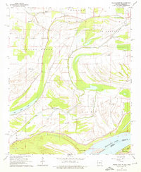
1964 Map of Friars Point NW
USGS Topo · Published 1976About this map
Mississippi River floodplains define this landscape along the Arkansas-Mississippi border, where an intricate network of oxbow lakes and bayous reveals the river's shifting history. The map detail highlights the reliance on massive Levee systems to protect the low-lying agricultural lands of Spring Creek and Hornor. Rural community life is centered around a remarkably high density of country churches and schools, such as St Marys Ch and its associated St Marys Sch, as well as Morning Grove Ch and Little Zion Ch.
Find a feature on this map
30 named features on this map. Tap any name to fly to it.
Don’t see what you’re looking for? This feature index may not catch every label — zoom into the map to look around manually.
Map Details
Editions of this 1964 Friars Point NW Map
2 editions found
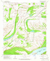
Other maps of this area

1908 · Coahoma
USGS Topo · 1:24,000

1908 · Moon Lake
USGS Topo · 1:24,000

1910 · Coahoma
USGS Topo · 1:31,680

1912 · Moon Lake
USGS Topo · 1:31,680

1939 · Farrell
USGS Topo · 1:62,500

1939 · Modoc
USGS Topo · 1:62,500

1939 · Latour
USGS Topo · 1:62,500

1940 · Marvell
USGS Topo · 1:62,500

1948 · Helena
USGS Topo · 1:250,000

1948 · Modoc
USGS Topo · 1:62,500