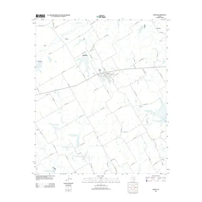
2012 Map of Frost
USGS Topo · Published 2012About this map
Frost serves as the central hub of this agricultural landscape in Navarro County, where a grid of rural roads connects scattered farmsteads and cemeteries. The terrain is defined by a sophisticated network of water management, evidenced by numerous Soil Conservation Service reservoirs including Site 100a Reservoir and Site 49 Reservoir. These features reflect the mid-to-late 20th-century emphasis on flood control and soil stabilization in the Texas Blackland Prairies. Genealogists will find significant value in the preservation of several local burial grounds, such as Blanton Cem, Pevehouse Cem, and the Union Hill Cemetery. The natural drainage of the region is traced by several significant waterways, with Richland Cr and Wolf Cr cutting through the fields, while smaller tributaries like Flat Rock Br and Elm Br provide additional detail to the local topography.
Find a feature on this map
84 named features on this map. Tap any name to fly to it.
Don’t see what you’re looking for? This feature index may not catch every label — zoom into the map to look around manually.
Map Details
Editions of this 2012 Frost Map
This is the sole edition of this map. No revisions or reprints were ever made.
Other maps of this area

1954 · Dallas
USGS Topo · 1:250,000

1954 · Waco
USGS Topo · 1:250,000

1955 · Waco
USGS Topo · 1:250,000

1956 · Dawson
USGS Topo · 1:24,000

1957 · Irene
USGS Topo · 1:24,000
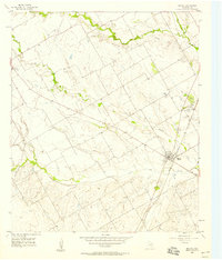
1957 · Malone
USGS Topo · 1:24,000

1958 · Dallas
USGS Topo · 1:250,000

1962 · Cryer Creek
USGS Topo · 1:24,000
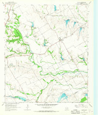
1965 · Avalon
USGS Topo · 1:24,000
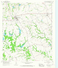
1965 · Blooming Grove
USGS Topo · 1:24,000