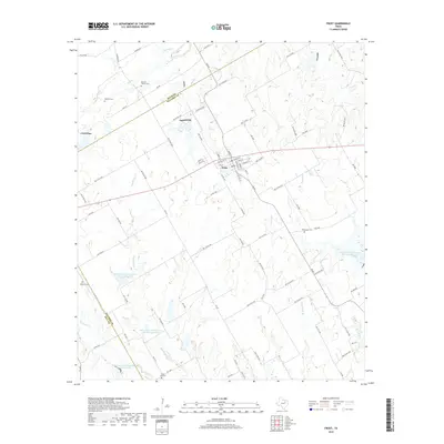
2019 Map of Frost
USGS Topo · Published 2019About this map
Frost serves as the central hub of this agricultural landscape in Navarro County, where the convergence of FM 667 and FM 639 anchors a network of rural county roads. The terrain is defined by a dense system of seasonal waterways, including Richland Cr and Hackberry Cr, which feed into several specialized reservoirs managed as Soil Conservation Service Site 99 Reservoir and Site 98a Reservoir. These man-made features highlight the modern era's water management practices within the Blackland Prairie region.
Find a feature on this map
90 named features on this map. Tap any name to fly to it.
Don’t see what you’re looking for? This feature index may not catch every label — zoom into the map to look around manually.
Map Details
Editions of this 2019 Frost Map
This is the sole edition of this map. No revisions or reprints were ever made.
Other maps of this area

1954 · Dallas
USGS Topo · 1:250,000

1954 · Waco
USGS Topo · 1:250,000

1955 · Waco
USGS Topo · 1:250,000

1956 · Dawson
USGS Topo · 1:24,000

1957 · Irene
USGS Topo · 1:24,000
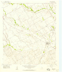
1957 · Malone
USGS Topo · 1:24,000

1958 · Dallas
USGS Topo · 1:250,000

1962 · Cryer Creek
USGS Topo · 1:24,000
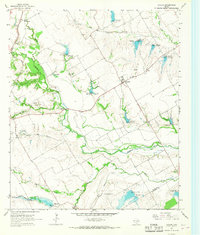
1965 · Avalon
USGS Topo · 1:24,000
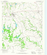
1965 · Blooming Grove
USGS Topo · 1:24,000